Hello,
I have a map with two layers. I want to identify and highlight all electoral unit (polygons) that are within 5 kilometers of any violence point.
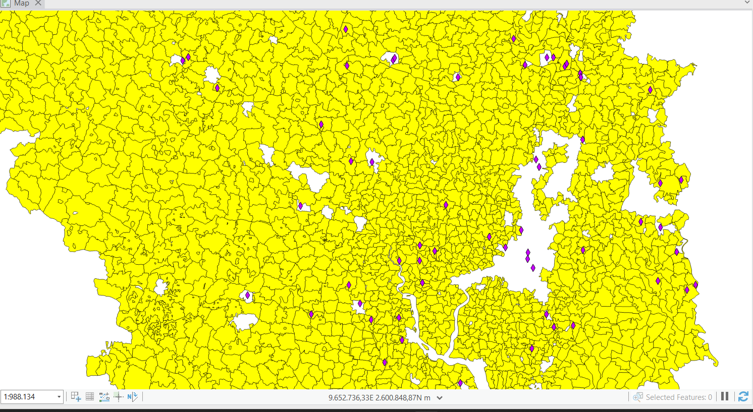
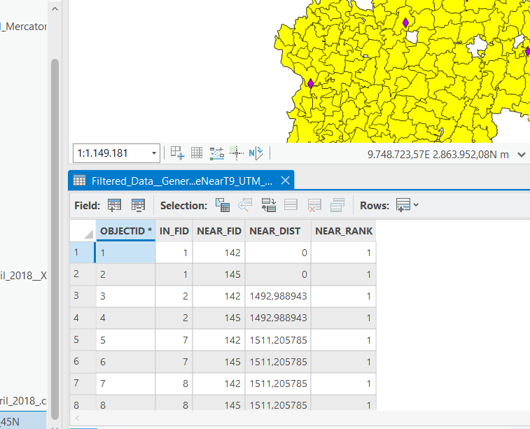
I am using the Generate a Near Table tool but NEAR_DIST values being displayed are unexpectedly large. I have made sure that both my violence points and electoral units layers are in the same projected coordinate system. I have tried using both 5km as an option and 5000 m.
These are how the values are displayed:
I do not seem to encounter any issues while using the the Select Layer By Location tool which works for highlighting polygons within 5 km.
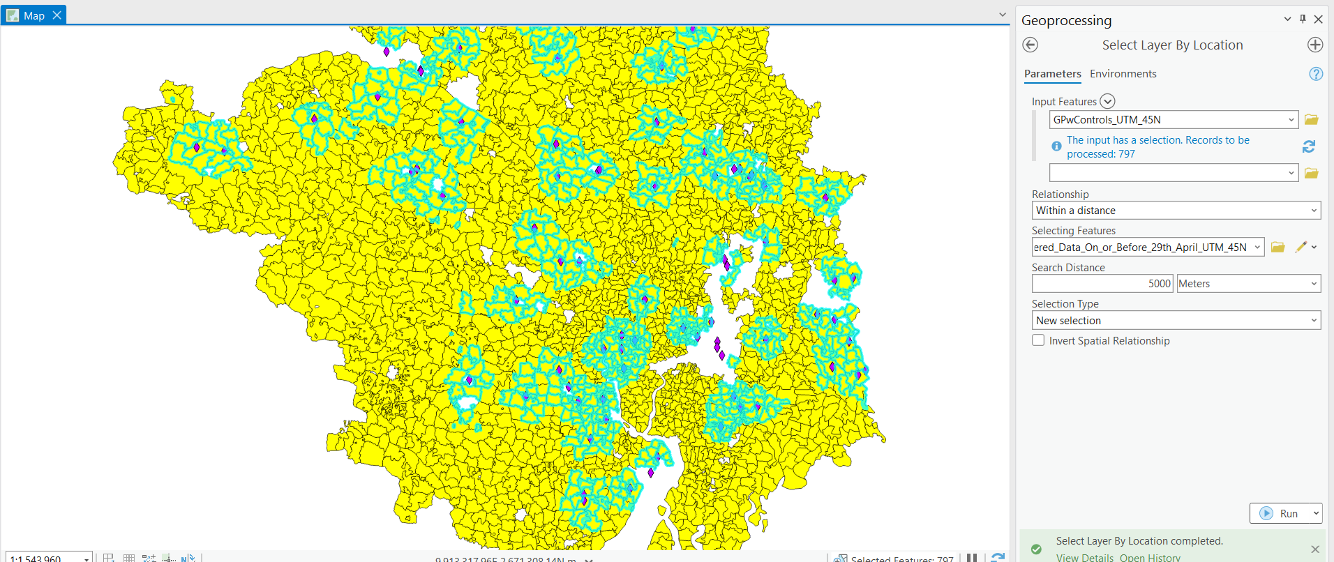
Please could someone suggest an alternate method of identifying polygons which are within 5km of a violence event? I would ideally like to know the distance of the polygon from the point and the id of the violent point as well.
Or could let me know what is potentially going wrong? I know some points fall outside the polygon layer but that is because this polygon layer is of rural units and the violence events which fall outside are in an urban area.
Thanks!



