
News & Updates
Broadband Consumer Labels
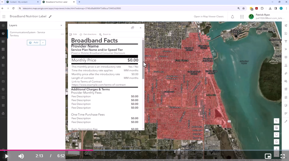
The FCC has rolled out their mandate for most ISPs to provide broadband consumer labels. The main objective of these labels is to simplify the understanding of broadband service options for consumers, enabling them to make well-informed decisions when selecting their internet service providers. By standardizing the presentation of information, the labels aim to achieve the following:
Enhance transparency: Consumers will have access to clear and consistent information about prices, speeds, and other crucial aspects of the service. This will help them understand and compare internet offerings without any confusion or ambiguity.
Promote fair competition: With a standardized labeling system in place, internet service providers (ISPs) are encouraged to compete fairly based on the quality and value of their services. This ensures that ISPs cannot hide important details in fine print or use misleading tactics to gain an unfair advantage.
Empower consumer choice: The labels provide comprehensive details in an easily accessible format, empowering consumers to choose services that best suit their needs and budgets. By having all the necessary information at their fingertips, consumers can make informed decisions and select the most suitable internet service for themselves.
Overall, these labels play a crucial role in demystifying broadband service offerings, promoting transparency, fair competition, and empowering consumers to make informed choices. To make standing up these labels easier for ISPs who leverage ArcGIS, we have provided a template that leverages Arcade and pop-ups to present these labels in a web map. Check out how to set up these browband labels for your organization in TGI5 episode 101. TGI5 - Episode 101 - Broadband Consumer Labels
Configure layer attribute search in maps and app
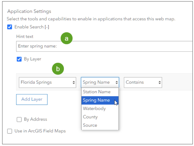
Did you know you can configure the map viewer search to search through layer attributes, an not just places and points of interest? Learn about how to set this up in your web maps and enable layer attribute search across all the ArcGIS web apps in the blog HERE.
ArcGIS as a system
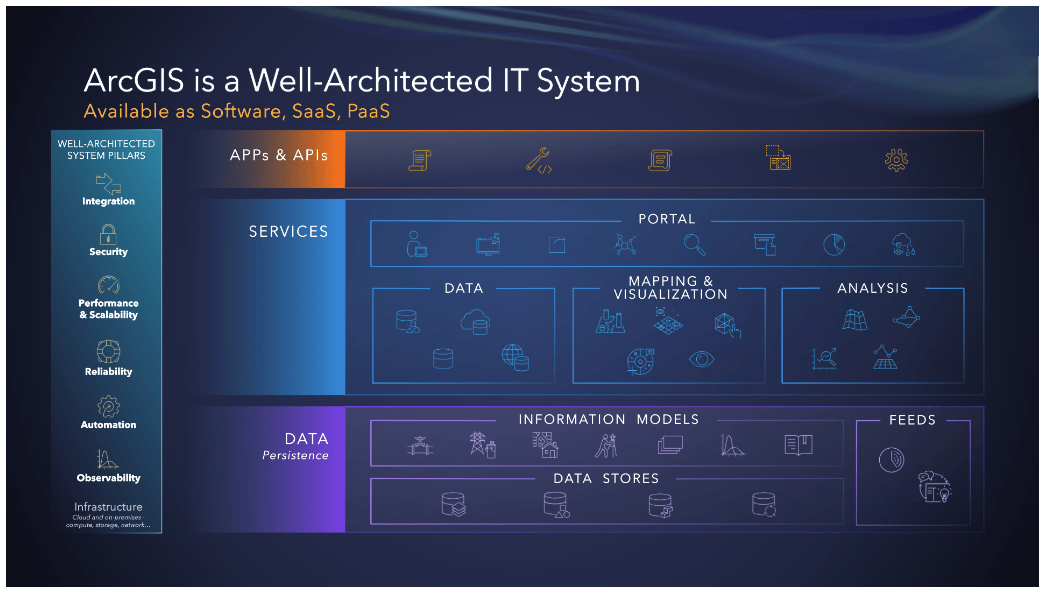
During day two of the Developer Summit plenary, Jay Theodore and others lead us through an exciting series of demonstrations, showcasing ArcGIS as a well-architected and foundational enterprise system that is composed of many products and capabilities. In this blog, see how ArcGIS is built on a foundation of six pillars and a well-architected framework with recommended patterns and best practices.
Why we love GIS
For our 100th episode of Telecom GIS in 5 Minutes, we asked a few GIS heroes in the community why they love GIS. See what they had to say in the video below.
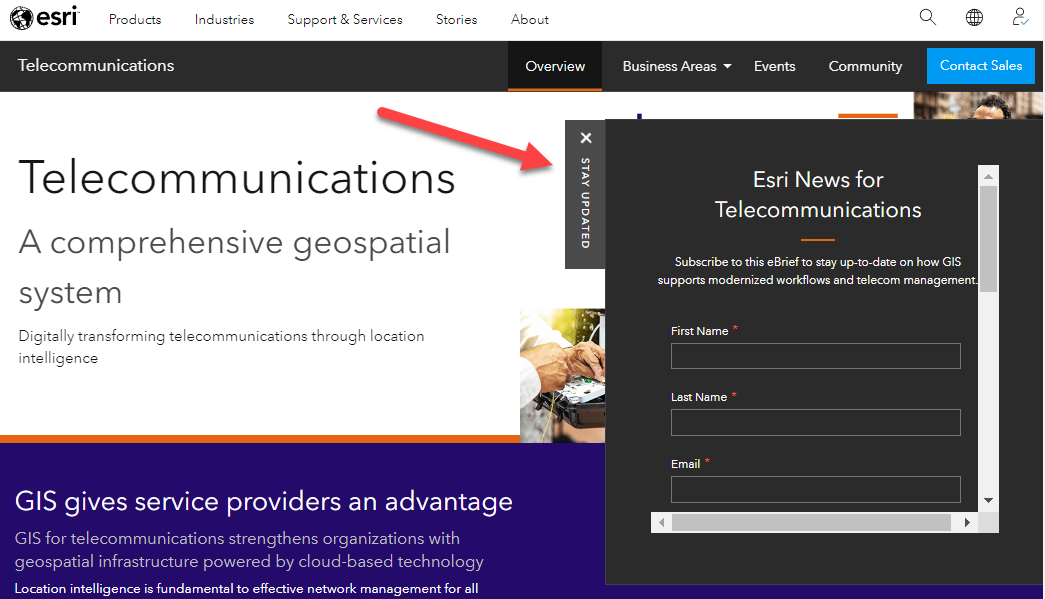
For more insights, be sure to sign up for the Telecom News newsletter at esri.com/telecom.
Previous Bits & Bytes:
