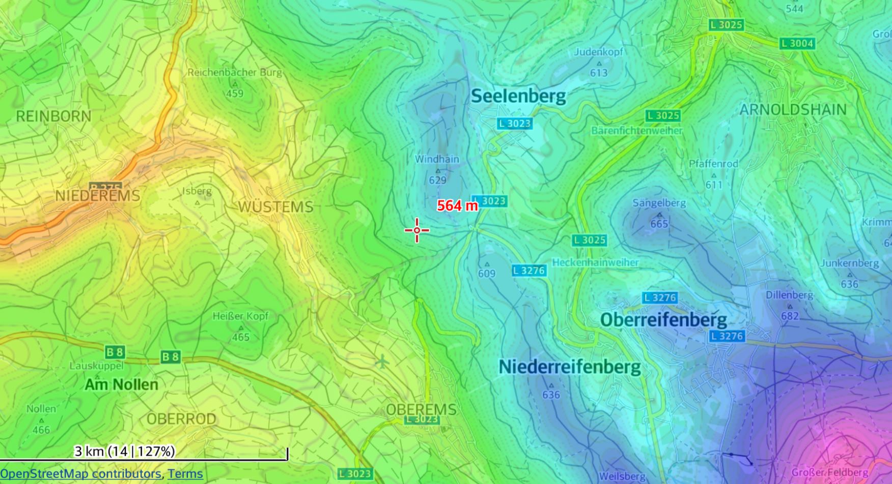
I have an old scanned map with includes elevation contours as well as elevation values colored according to colormap (similar to the example map below).
What I try to achieve is to assign a specific elevation to each color and then subsequently populate the entire map with the corresponding elevation values; so in essence I want to recreate the map from the colors instead of digitizing the contours by hand.
Any suggestions what ArcGIS Pro tool has such a capability?