Could someone please help me understand the workflow in analysing points along an highway?
What I've done so far is to create a route from a shapefile. The route represents a highway. I've geocoded addresses of interest to points of interest. Using the Near-Tool I've calculated the distance between the route and each point of interest. The Near Analysis Tool gives the
NEAR_ID
NEAR_DIST
NEAR_X
NEAR_Y
The output is as follows: The map shows the route, i.e. the highway and the points of interest. The NEAR_X and NEAR_Y are not shown.
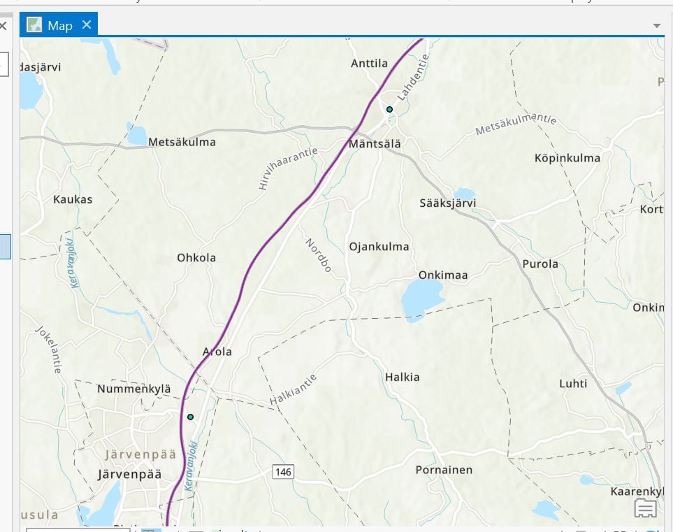
My question is: what next? I would like to "straighten" the route, i.e. make it one-dimensional and plot each NEAR_X and NEAR_Y on that line. So what I'm missing is how to get from where I am at now to something more useful, e.g.:
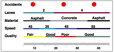
As is shown in https://pro.arcgis.com/en/pro-app/latest/help/data/linear-referencing/linear-referencing-scenarios.htm.




