Hello,
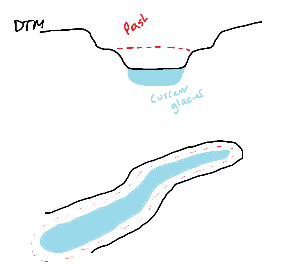
I have a DTM of a glacier and it's surrounding terrain and I'm trying to reconstruct the past glacier volume and size. Is there a way I can create a 3D polygon that sits flush to the bottom of the glacier (the DTM) and slopes so I can use it to estimate mass and volume loss?
I'm new to the 3D side of things with ArcPro and was wondering if this could be done?
Here's a terrible diagram showing what I am trying to get at...