Hi,
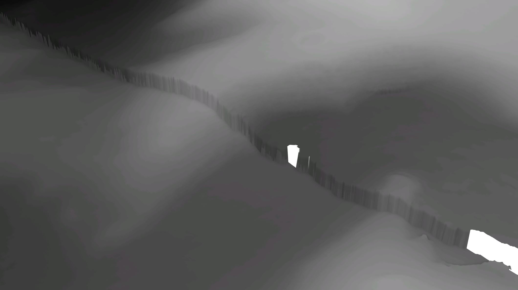
I have a set of two DEMs which were created separately. In 3D they appear offset to each other. The spatial data seems fine and mosaic merging does nothing to change the offset. How can I remove this 'cliff'' and merge the DEMs smoothly together?
The difference lies in how they were created, perhaps a projection or coordinate definition issue.
There is no way to resolve it without going back to the original sources.
A FocalMean run a couple of times would smooth things out but not make it very useful for analysis.
Hi, The datasets are not uniform across their joining axis 😞 Shifting the raster down at a central point creates a elevation difference as you progress towards the edges
Moasic to New Raster does not work. I don't see a blend in values and when placed in elevation surfaces/ground, the raster has the same 'cliff' discontinuity.
Hmmmm...I would use the Mosaic to New Raster GP tool first to create one, mosaicked raster dataset and then use that raster for any analysis and/or 3D viewing. What is the result after running the GP tool?
Are you sure that there isn't a vertical datum issue?
Vertical datums—ArcGIS Pro | Documentation
in a pinch, you could Add/Minus the height difference if it were uniform, effectively shifting one of the rasters upwards or downward
Signed in members can post, follow updates, and more. New here? Register a free account.
Find useful guides, FAQs, and documents to help you navigate and make the most of Esri Community.