Hi there,
I have a problem. For a Project I am trying to import an Object-Mesh (.OBJ) into ArcGIS Pro. The Mesh was created by a LIDAR measurement. This is what it looks like in the actual mesh viewer.
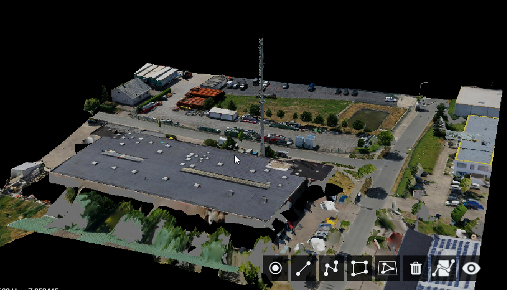
But whenever I open it in ArcGIS (via Import 3D-Data) it ends up looking like this:
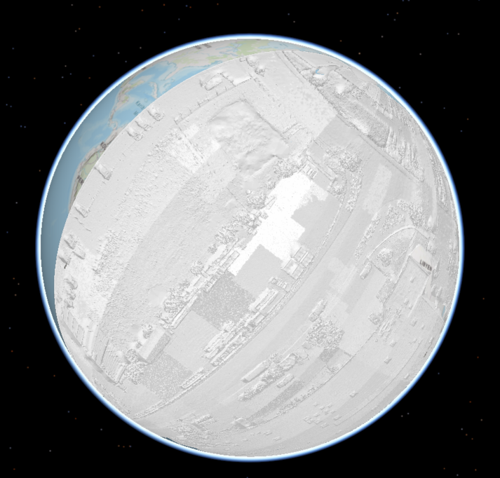
The data is georeferenced. I check it. I also re-referenced it via FME. Also via FME I tried to transfer the data to other file formats, such as .3ds, .wrl, .flt and .dae. It still looks the same.
What am I doing wrong?
Sadly I never worked with ArcGIS 3D before.

