Running ArcGIS 3.03
Hello! I'm new to GIS as a whole and I am trying to use it for some applications in my studies at university. Specifically I want to track the density of people and built infrastructure within countries over time.
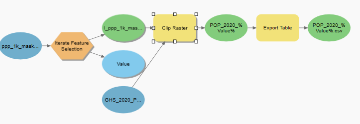
I've built a model where I clip the global raster by individual countries and then export the attribute table. The clipping part of the function works fine, but the issue I am having is that the exported raster table is missing data.
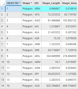
- Input polygons
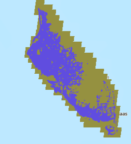
- Raster sample
- Model
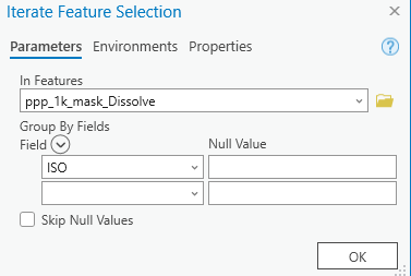
- Iterate feature
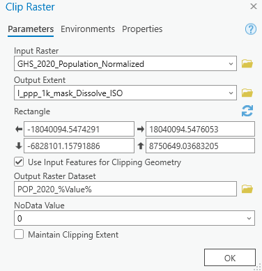
- Clip Polygons (Raster Statistics are turned on)
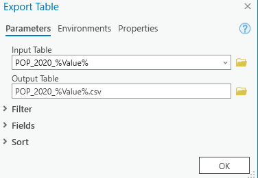
- Export Table
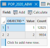
- Attribute table of iterated raster
- Resulting CSV
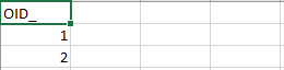
As shown above the resulting CSV is missing the 2nd and 3rd column of data. Is there something that I am doing wrong that is causing this issue? or is there perhaps a workaround for me to extract the data. Any help and advice would be greatly appreciated.
Additional info:
The data I'm using for the polygons comes from here: https://hub.arcgis.com/datasets/WorldPop::national-boundaries-1km/about
and the population and build density data originates from: https://ghsl.jrc.ec.europa.eu/download.php
I've also tried using the build raster attribute function
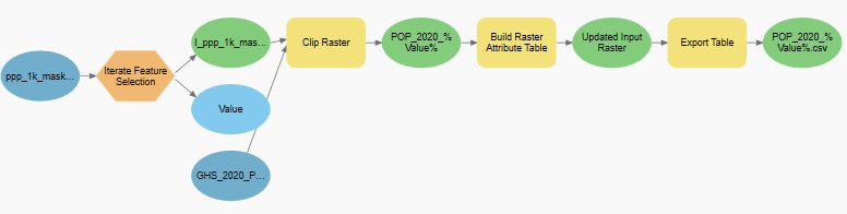
But the resulting CSV is exactly the same, suggesting that its an issue with exporting and not the raster tables themselves.


