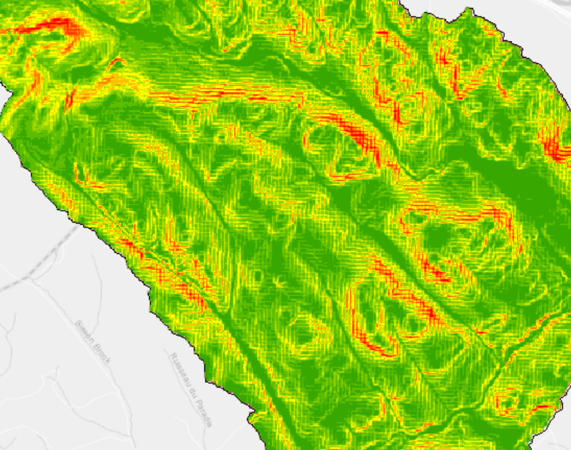
Hello everyone. I merged several DEMs to make a map for a watershed. However, the quality seem off, showing some weird grid lines when I try to make any transformation. For example here is when I try to convert into slopes (notice the lines?) How can I fix this?
Thank you,
Stéphanie


