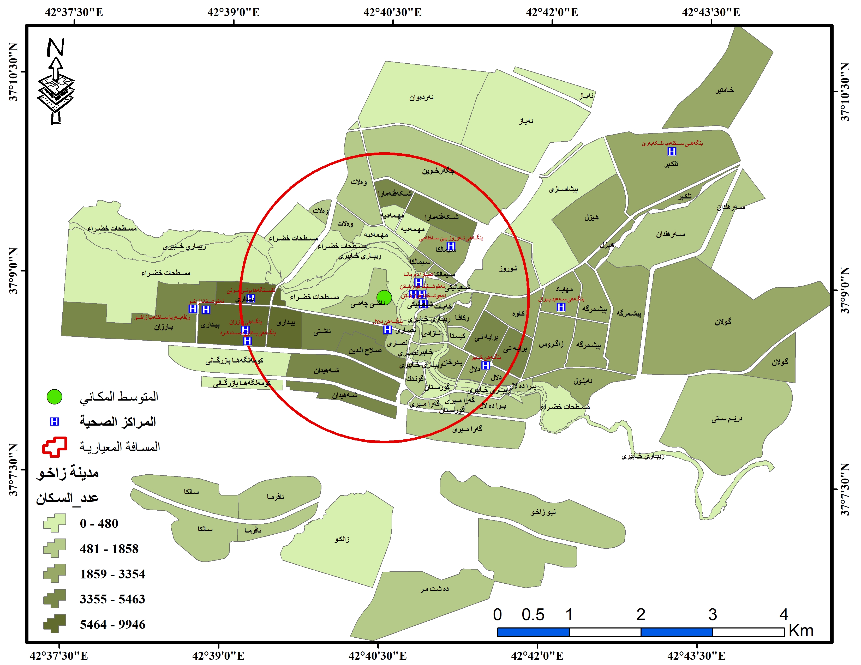
Greetings to all, I had applications on one of the cities in my residential area, and the application included how the primary health centers spread in the city, and what are the reasons for this spread and are they spread efficiently and according to the required standards or not!? I just wanted to get a file from you regarding spatial analysis tools, especially the mean center, spatial median, and standard deviation. Thank you very much.