Hello everyone,
I tried to create an animation of the global flood between 2002-2009 with ArcGIS Pro. Nevertheless, the ArcGIS PRO did not allow me to create the animation. Whenever I imported the mapping animation from the timeline, it automatically chopped my map.
I will demonstrate the problem I described with my screenshop. The first picture was the map before I imported my global flooding map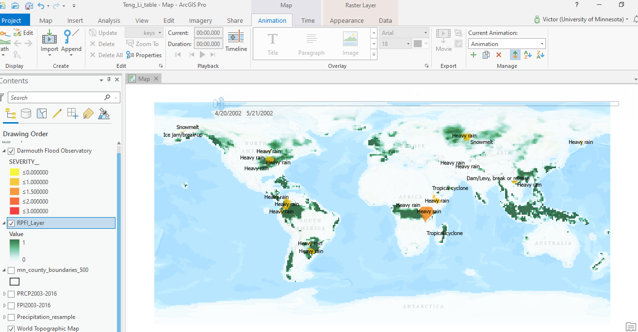
The following the map AFTER I imported my 2002-2009 global flooding map to the animation timeline. They automatically removed a part of the map for fitting a certain format.
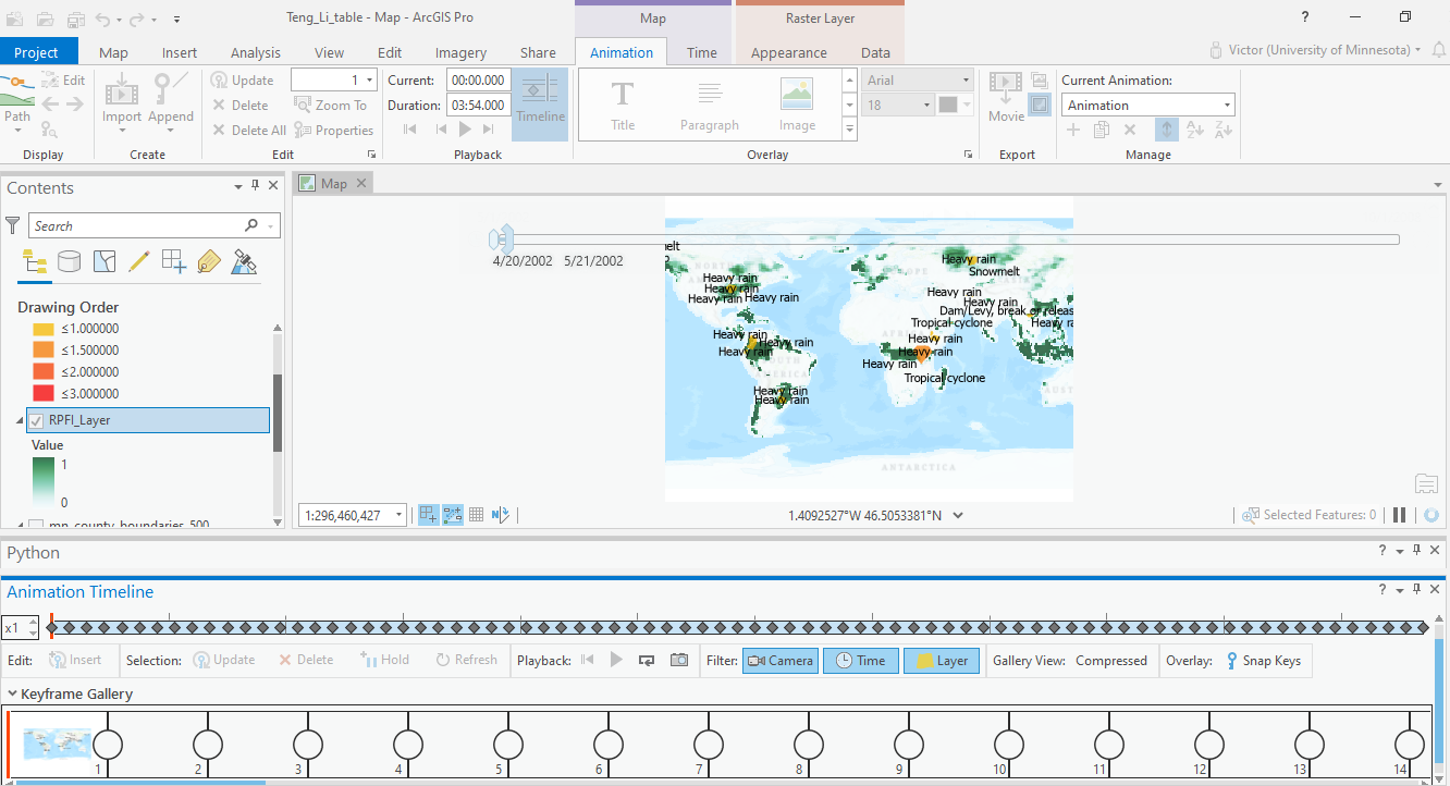
This made my work for creating the animation of the global flooding between 2002-2009 impossible. Please explain to me how I can import my mapping data without the computer automatically removing a part of my map. Thank you.

