2019 Map Gallery Presentation: Todd Sutherland
US Fish and Wildlife Service, National Wildlife Refuge System Inventory and Monitoring
Interviewed by Team Mapitas x2019TalkApp xInvertebrate xReserve xWildlife
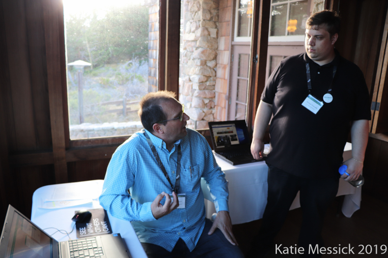
Todd shows an ArcGIS Web Application that prioritizes National Wildlife Refuge lands for potential monarch population monitoring along a major migration corridor.