- Home
- :
- All Communities
- :
- User Groups
- :
- Conservation GIS
- :
- Documents
- :
- Federico Riet Sapriza, 2019 Conference Talk
- Subscribe to RSS Feed
- Mark as New
- Mark as Read
- Bookmark
- Subscribe
- Printer Friendly Page
Federico Riet Sapriza, 2019 Conference Talk
Federico Riet Sapriza, 2019 Conference Talk
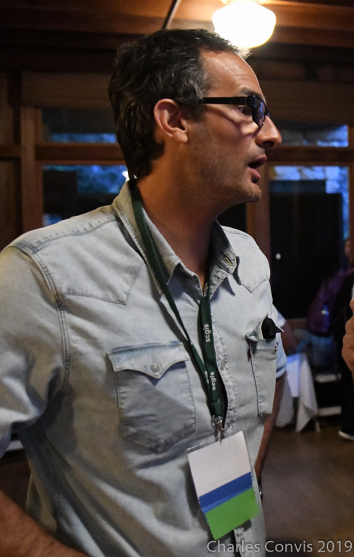
Federico Riet Sapriza Cetáceos Uruguay & University of the Andes, Asst Professor.
x2019Talk xMammal xDolphin xMarine xGenetics xPark
2019 Conference Talk:
Presentation -pdf
Video -mp4
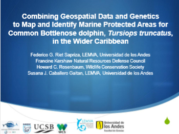
2019 Conference Abstract: COMBINING Geospatial DATA AND Genetics to map and identify MARINE PROTECTED areaS for Common Bottlenose Dolphin, Tursiops truncatus, in the Wider Caribbean
Federico German Riet Sapriza1, Francine Kershaw2, Howard C. Rosenbaum3, and Susana Josefina Caballero Gaitan1
1 Laboratorio de Ecología Molecular de Vertebrados Acuáticos LEMVA, Departamento de Ciencias Biológicas, Universidad de los Andes, Bogotá, Colombia.
2 Natural Resources Defense Council, 40 West 20th Street, New York, NY 10011, USA.
3 Wildlife Conservation Society, 2300 Southern Blvd., Bronx, NY 10460, USA. 
Genetic tools have the potential to be highly informative in marine protection in a manner that complements and enhances existing approaches based on biodiversity metrics, habitat maps, satellite telemetry, and expert opinion. However, lack of access to and understanding of genetic data has been identified as a key reason why genetics is often overlooked in these efforts. The objectives of this study were to geospatially map and identify marine mammal conservation priority areas for common bottlenose dolphin (Tursiops truncatus) in the Wider Caribbean using a combination of geospatial techniques and genetic data. A 386bp length of the mitochondrial control region was sequenced and nine microsatellite loci were genotyped for 158 samples distributed across eight sampling locations in the Wider Caribbean. To create geospatial genetic data layers, information on sampling location and genetic data (diversity mtDNA and nuclear microsatellites) were combined in a geodatabase in ArcGIS 10.6 and used to develop a range of geospatial ‘shapefiles’ representing genetic diversity metrics, indices of population structure, and connectivity between sampling locations (based on female migration rates per generation). Two common bottlenose dolphin types, the ‘worldwide distributed form’ and the ‘inshore ecotype’, were identified in this region and three discrete population units with low female-mediated gene flow but evidence of male-mediated connectivity were found. To provide an example of how our results can be applied in current policy processes, we describe how geospatial genetics may be used to inform the identification of Important Marine Mammal Areas (IMMAs), an effort currently being led by the IUCN Joint SSC/WCPA Marine Mammal Protected Area Task Force. Finally, we outline a series of lessons learned and recommendations to ensure that genetic data for coastal cetaceans are correctly interpreted and implemented by planners.
2012 Conference Talk:
"Applying GIS Tools to Determine the SpatialTemporal Resource Overlap between the Foraging Areas of Lactating South American Sea Lions (Otaria flavescens) and the Uruguayan Commercial Fisheries"
Presenter(s): Federico Riet, Cetáceos, Uruguay*
"The negative impacts of the trophic competition between fisheries and marine mammals continue to raise considerable concern worldwide. In order to measure the potential overlap, data on fisheries and marine mammal food resource utilization, areas of fisheries operation and at sea movement of marine mammals are needed. Our aims were to determine the foraging behavior, diet, and utilization distribution of lactating South American sea lions (SASL, Otaria flavescens) and assess the potential resource overlap with the artisanal fisheries (AF) and the coastal bottom trawl fisheries (CBTF). Lactating females (n = 10) were fitted with satellite tags and Time-Depth Recorders. We used kernal and peeled minimum convex polygon (95%) methods for estimating the foraging utilization distribution of lactating SASL. In order to assess the potential resource overlap, we integrated sea lion diet and consump
tion estimates and satellite-tracking data from lactating SASL with data on fishing effort areas and fisheries landings in the Rio de la Plata Estuary-Atlantic Ocean. Restricted to forage in shallow waters within the continental shelf, lactating SASLs’ foraging areas overlapped with CBTF (15%) and AF (>1%) fisheries’ operational areas. For both fisheries the Resource Overlap/Fisheries Impact index identified the “hot spots” and they were distributed along the coast, west of the breeding colony (56W - 55W). The results of this work showed differing degrees of resource overlap with AF and CBTF, highlighting (a) differences in potential impact from each fishery and (b) that different management/conservation approaches may need to be taken to solve the fisheries-SASL conflict."

