I am trying to use the ArcGIS Online to show the location of the survey. And I set the refresh interval of the Survey layer to let the feature class refresh, and show the location of the new report.
However, when a new report is created, it is not showing at certain scale (as shown below). Moreover, the attribute table of the survey layer is not updating at all.
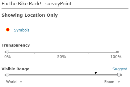
I believe it is not related to the visible range setting since I set it is visible at all range.
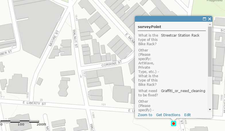
It is showing at the 1:200 ft
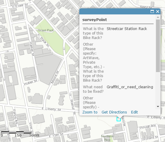
But it is not showing at the 1:300 ft (Notice the red point is missing).
It comes back at the 1:0.4mi scale.
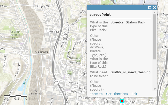
And the attribute table of this feature class/layer is NOT updating at all, though the refresh interval is set as 0.1 min.
Can anybody tell me why would this weird thing happen and how to fix it? Is it because of the Survey123 or the ArcGIS Online?
Thanks!

