Good evening everyone,
I have queried the GeoNet and have not come across the workflow on utilizing Lat Long from a feature service within Collector with a URL scheme. I can push the values across to my survey but I do not know how to have the 'geopoint' default to them.
This is an example of my xlsx form showing Y and X coming across and then combining. Before sending to the geopoint.

This is the actual table from the hydrant feature service. I utilize the FacilityID as my unique ID and also bring across the FMZ and Shift.

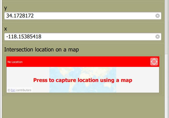
This is currently my result.
Again any information would be helpful. TX


