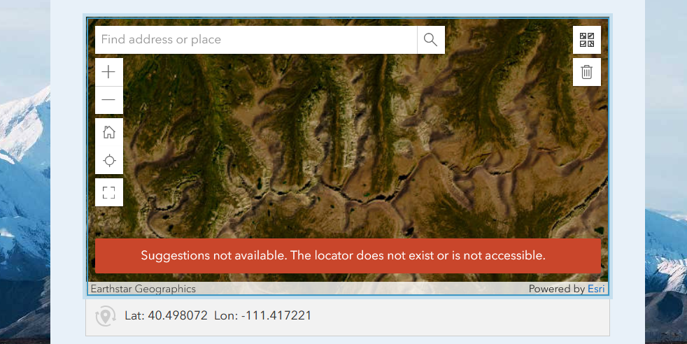
I've been designing a survey in Survey123 Connect that compares where people think they live (jurisdiction etc.) with where they actually live. In rural areas, people often live outside of the city that's listed on their mailing address. One question involves respondents placing a point on a map to show where they live. I need the map question to have no external information beyond aerial imagery so that it doesn't affect their responses on later questions.
How can I use Survey123 Connect to remove all the Esri basemaps beyond the one map I have linked to the survey? And how can I remove the locator box? (Alternatively, we have an organization geolocator that we could use, but it's in Portal and I couldn't get the map to connect to it).
Thank you!