Hi all,
I developed a simple GIS module through using the ArcGIS SDK on Java with these features :
- Map : Map options, Map coordinates
- Toolkit : Navigator, Overviewmap, Drawing overlay
- Graphics layers : Select graphics, Draw graphics
- Geometry : Line length
- Routing and navigation : GPS layer, Advanced GPS info
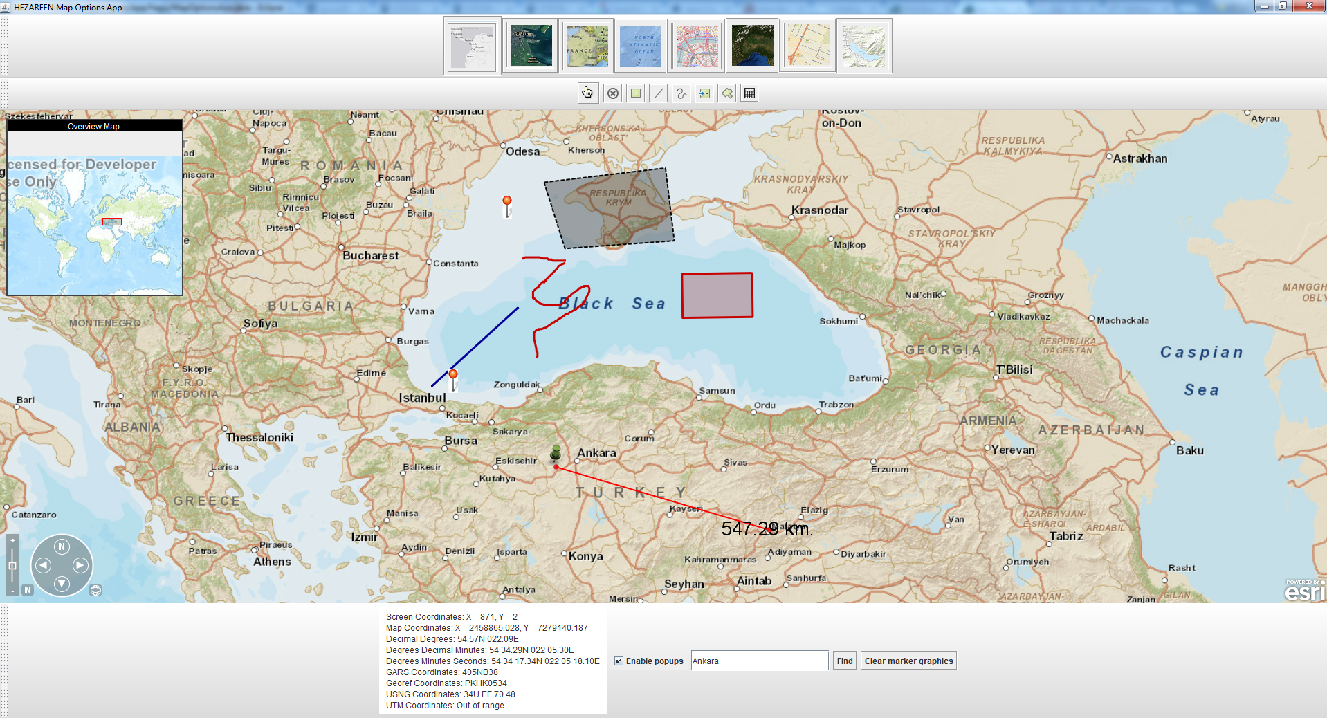
Everything is working well in online mode. But at production stage there will be no internet connection at client side.
So, how can i refer to a SATELLITE or NATIONAL_GEOGRAPHIC or STREETS etc. version of a map on local machine while serving the features listed above also?
For example this code zoom to Turkey at Level-6 through online server's of Esri.
MapOptions mapOptions = new MapOptions(MapType.STREETS, 39.0000, 32.0000, 5); // Turkey wt. zoom level 6
I guess two solutions but i couldn't find the reference mechanism on Java side.
Option-1 : Prepare a custom map on ArcGIS Desktop software and export the map and tiles info to a folder. Then refer to this folder.
Option-2 : Download a pre-built map from ArcGIS web site (For example Turkey NATIONAL_GEOGRAPHIC map) with its tiles. Then install a ArcGIS server on client side and load the map & tiles to map server. At last give reference to 127.0.0.1/localhost to access it.
Does anybody have opinion about this?
Best regards,
Eray



