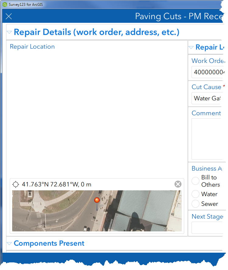
I am experiencing an issue that i can't seem to figure out. I have created a survey using the theme-grid style. On this survey is a geopoint and further down the form is another geopoint in a repeat. Here is how the first geopoint displays in my survey:
There is a lot of empty space so I set the height of the question to height=20 in the body::esri:style column. This is the result:
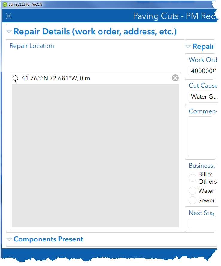
I can't see the map. I get a gray box that appears to be the height that I set. If I click on the map and the click a new location, the map appears in my survey.
Further down in my survey, I have another geopoint in a repeat. The geopoint location is set based on the location in the first geopoint question. In the XLSForm, the geopoint question is configured exactly the same but displays the map:
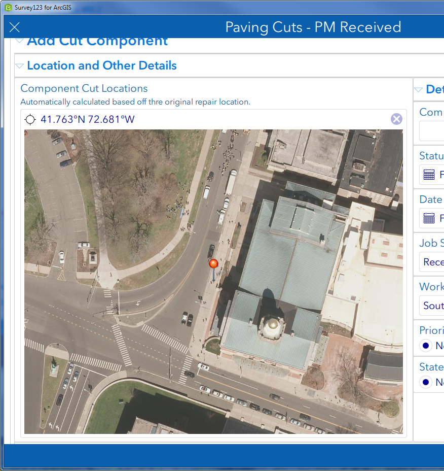
Why does the first geopoint question not display correctly with a height set but the second does? Thanks.


