While working with the Utility Network widget at v11.3 ExB I have the following questions/suggestions:
- If I only have a single network configuration in my web map, why must I still have to pick that network configuration?
- Why do trace results default to displaying their OIDs?
- Why is only a single attribute able to be displayed?
- Why is 'zoom to' the only option for the selected results?
To allow the end user to interact with trace results in a more user-friendly manner I have had to resort to creating several 'query' widgets that display the selected trace results by asset type. This allows the user to see as many attributes are needed as well as zoom, pan and flash each selected feature. However, there's a number of issues even with this, namely:
- It requires manually triggering after a trace is run
- The SQL capability fail to recognize AssetType domain values and instead seem to only recognise whatever attribute the data is symbolized by.
- The query widget fails to refresh between traces, potentially leaving stale results in there unless the user hits 'apply' each time (see #1 above).
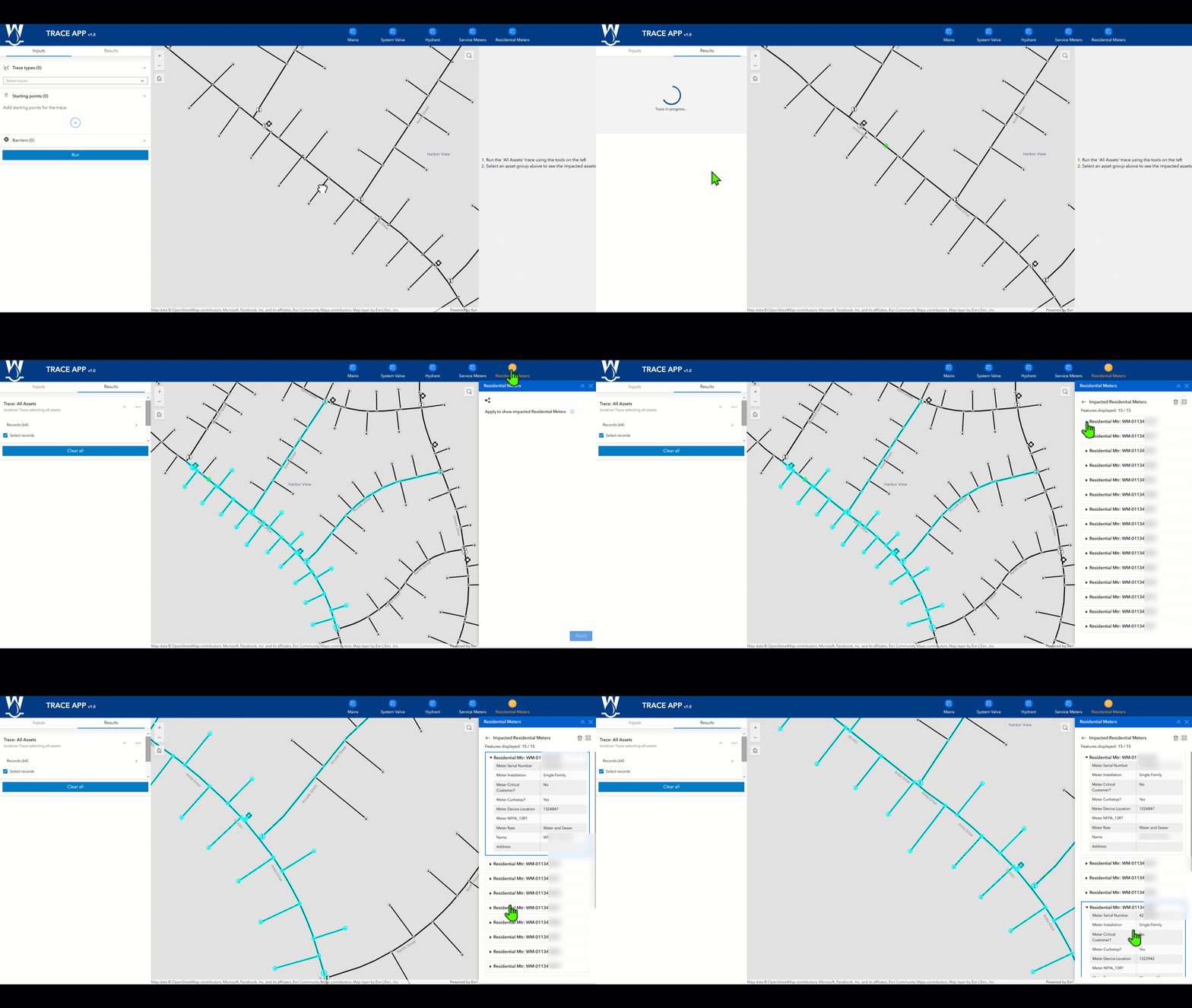
Does anyone have a better way to interact with features in a trace result?



