I have a current ArcGIS visual that is using census tract boundaries as the location type. The dataset that contains the census tracts is for ACS 2019 population estimates for a single county and uses 2010 census tract boundaries. I recently downloaded updated ACS population estimates which are for 2020 and the census tracts boundaries have changed. When I try to use the census tract as the location type for the 2020 data I am noticing that not all census tracts are mapped and some are incorrect.
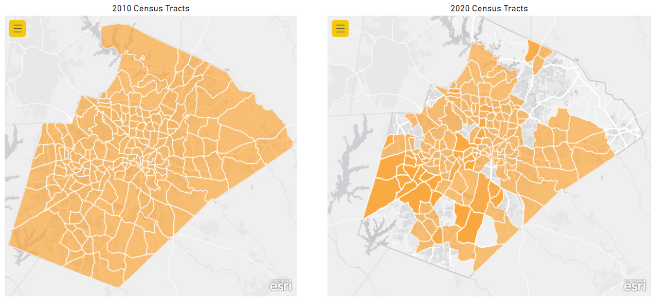
The screenshot below shows the difference between using the 2010 census tracts as the location type vs the 2020 census tracts. Also attached csv files for each set of data.
Wondering if the visual may not support using 2020 census tracts and if there is a workaround or fix for this issue.