- Home
- :
- All Communities
- :
- Products
- :
- ArcGIS Online
- :
- ArcGIS Online Blog
- :
- Get Started with ArcGIS Online
Get Started with ArcGIS Online
- Subscribe to RSS Feed
- Mark as New
- Mark as Read
- Bookmark
- Subscribe
- Printer Friendly Page
Create maps. Share them as web apps. Start with these foundational skills and open up a world of possibilities with ArcGIS Online.
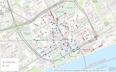
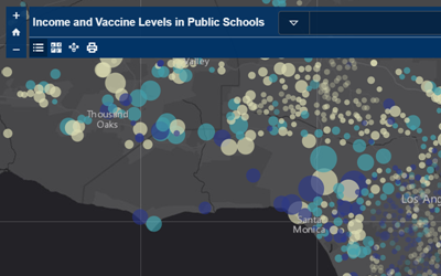
You add geographic data to maps through layers. Layers include not just the data but also the visualization such as symbols and colors and pop-up configurations. As an ArcGIS Online user, you have access to thousands of ready-to-use layers you can add to your map. You can also add you own as easily as dropping a spreadsheet on the map. ArcGIS Online automatically applies smart mapping, highlighting what's important in your data.
Try a quick exercise about adding data to a map.
A basemap provides the geographical context for your data layers and every map includes one. The basemaps that come with ArcGIS Online vary in theme and focus such as Streets at Night, Oceans, and Imagery with Labels, the all-time most popular basemap. Choose the one that best complements your data.
View a Story Map about your basemap choices.
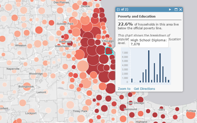
Pop-ups reveal the data in your layers. By default, pop-ups show a plain list of all the attributes and values. As a best practice, you should configure the pop-ups to only show what's important.
Watch a video about the value of decluttered pop-ups.
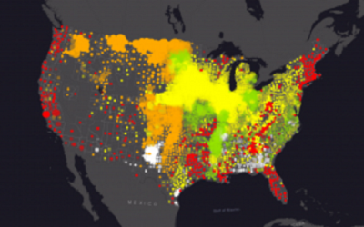
Smart mapping suggests drawing styles for your layers such as colors and symbol size. The initial settings immediately show significant values within your data in order to help you explore and showcase important patterns. Keep the defaults or choose your own options.
View a Story Map about how to smart map in 3 steps.
You map includes an item details page which helps other people find it, as well as understand its purpose. Before you share your map, you should edit the details to include an interesting summary, an in-depth description, and carefully considered tags, as well as to credit the source of the data. It's also a good idea to have an attractive thumbnail and a descriptive profile.
Read an article about best practices for sharing.
ArcGIS Online offers a suite of web apps that can help bring your map to life for users. And the majority of your work is done once you've created your map. By picking the app that best meets your purpose and choosing a few options, you can share your map as an interactive, focused web app.
Watch a video about how to choose a web app.
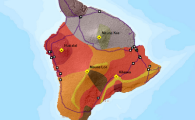
Practice your mapping skills while exploring the island of Hawaii. In this scenario-based lesson, you'll be guided through creating a map and sharing it as a web app.
You must be a registered user to add a comment. If you've already registered, sign in. Otherwise, register and sign in.
