Turn on suggestions
Auto-suggest helps you quickly narrow down your search results by suggesting possible matches as you type.
Cancel
- Home
- :
- All Communities
- :
- Industries
- :
- Education
- :
- Education Blog
- :
- Teaching Students about the Societal Aspects of Te...
Teaching Students about the Societal Aspects of Technology using GIS
Subscribe
517
0
11-10-2016 10:18 PM
- Subscribe to RSS Feed
- Mark as New
- Mark as Read
- Bookmark
- Subscribe
- Printer Friendly Page
- Report Inappropriate Content
11-10-2016
10:18 PM
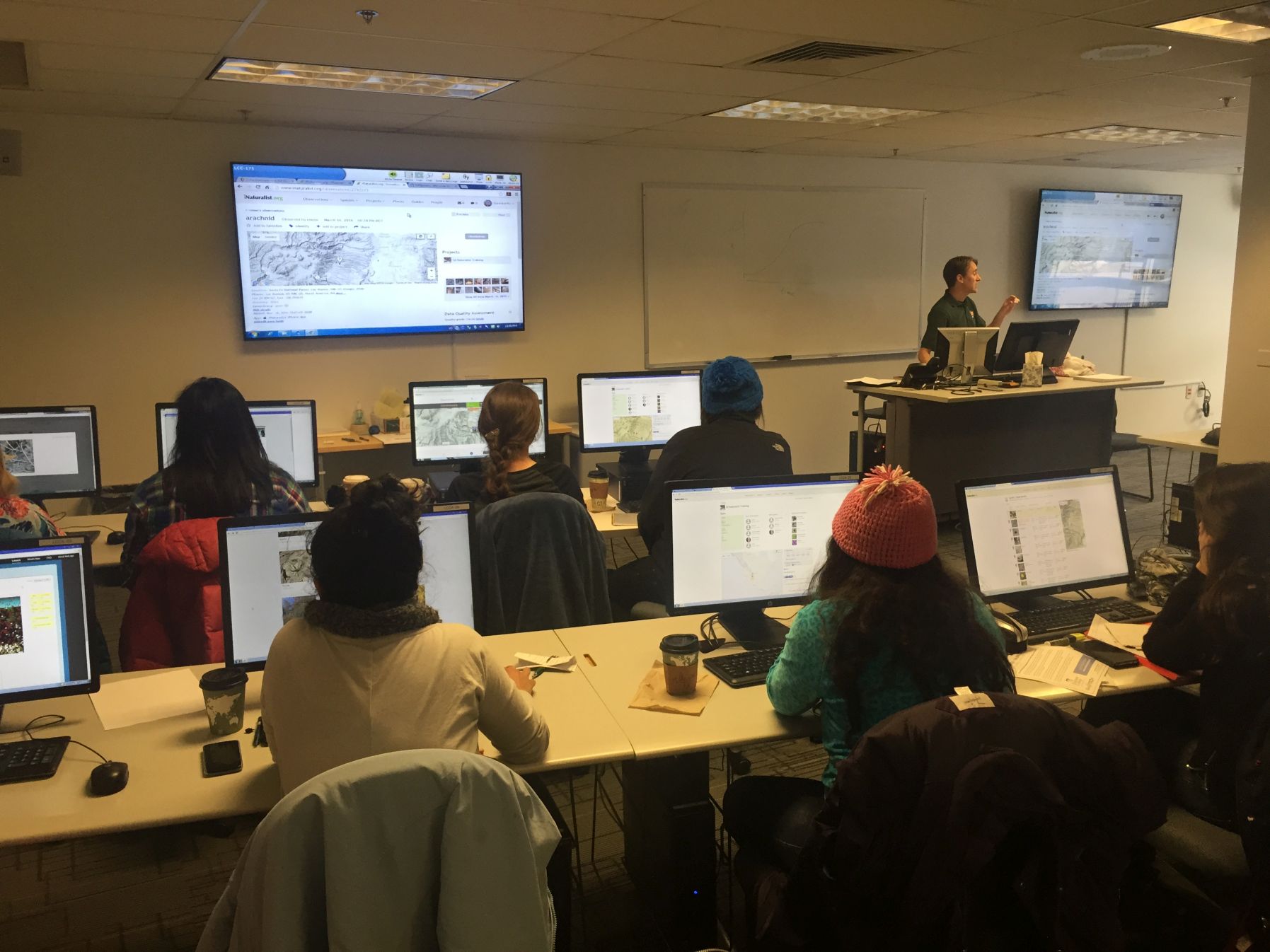
A recent article in eSchoolNews by Dianne Pappafotopoulos, school district instructional technology specialist, posed the question, "What should we teach students about the future of technology?" She reflects about the ways that humans are increasingly relying on programmable devices and robots for their everyday lives, and in a sense "becoming" technology or at least a part of it. Geographic Information Systems (GIS) is an important enabler of these technological changes as the "where" question becomes ever more important. GIS has undergone a series of massive paradigm shifts in its 50 year existence, and with the advent of Web GIS, the rate of change not only is increasing, but is attracting applications for nearly every ..., from health to business to engineering and beyond.
Beyond the technical innovations that technology brings to our world and the workforce skills to our students, teaching about technology offers many societal and life lessons. I think that the points Ms. Pappafotopoulos raises in the article about critical thinking, safety, privacy, ethics, and copyright connect well to what I believe we should be incorporating into our GIS instruction. In fact, many of these topics are central to the themes in the Spatial Reserves blog that Jill Clark and I have been writing for nearly 5 years, along with the book we wrote on the same subject for Esri Press. It is also a topic that we frequently write about in this GIS education blog.
Geospatial data are often personal, because they reflect the locations where individuals live, work, and travel. Collecting spatial data and creating and analyzing maps requires students to ask questions such as: Where did these map layers come from? Who created the data, and can I trust it? How does the scale of my analysis and the parameters I use for the buffer or intersect tools affect the results of my analysis? Do I have permission to use this photograph in my story map? Should I share the location of where I live or where I took my morning fitness run with the world on a map? Will I compromise the privacy of individuals who participate in my crowdsource map?
The recommendations for educators in the article have natural connections to GIS. The creation of required courses that focus on these issues, inviting guest speakers (who could be from the GIS community via the Geomentors program), and project-based learning activities (such as SpatiaLABS, the Learn GIS library, and GeoInquiries) are excellent starting points.

- Teaching with GIS is an important part of teaching about technology and its implications.
You must be a registered user to add a comment. If you've already registered, sign in. Otherwise, register and sign in.
About the Author
I believe that spatial thinking can transform education and society through the application of Geographic Information Systems for instruction, research, administration, and policy.
I hold 3 degrees in Geography, have served at NOAA, the US Census Bureau, and USGS as a cartographer and geographer, and teach a variety of F2F (Face to Face) (including T3G) and online courses. I have authored a variety of books and textbooks about the environment, STEM, GIS, and education. These include "Interpreting Our World", "Essentials of the Environment", "Tribal GIS", "The GIS Guide to Public Domain Data", "International Perspectives on Teaching and Learning with GIS In Secondary Education", "Spatial Mathematics" and others. I write for 2 blogs, 2 monthly podcasts, and a variety of journals, and have created over 5,000 videos on the Our Earth YouTube channel.
Yet, as time passes, the more I realize my own limitations and that this is a lifelong learning endeavor and thus I actively seek mentors and collaborators.
Labels
-
Administration
39 -
Announcements
45 -
Career & Tech Ed
1 -
Curriculum-Learning Resources
180 -
Education Facilities
24 -
Events
47 -
GeoInquiries
1 -
Higher Education
520 -
Informal Education
266 -
Licensing Best Practices
47 -
National Geographic MapMaker
17 -
Pedagogy and Education Theory
187 -
Schools (K - 12)
282 -
Schools (K-12)
185 -
Spatial data
24 -
STEM
3 -
Students - Higher Education
232 -
Students - K-12 Schools
86 -
Success Stories
22 -
TeacherDesk
1 -
Tech Tips
83
- « Previous
- Next »