- Home
- :
- All Communities
- :
- Products
- :
- ArcGIS Pro
- :
- ArcGIS Pro Questions
- :
- Re: Match_Addr in ArcGIS Pro 2.4 Create Locator
- Subscribe to RSS Feed
- Mark Topic as New
- Mark Topic as Read
- Float this Topic for Current User
- Bookmark
- Subscribe
- Mute
- Printer Friendly Page
Match_Addr in ArcGIS Pro 2.4 Create Locator
- Mark as New
- Bookmark
- Subscribe
- Mute
- Subscribe to RSS Feed
- Permalink
- Report Inappropriate Content
I've been working on creating locators to improve our geocoding results. Most recently I created a Street address with Alternate Street Name role(s). It seems to work just fine for me, but I'm wondering about how the results are returned.
In an earlier attempt to create the same type of locator(see related post) I learned that the attributes used for geocoding in the primary table must be matched by the same attributes in the alternate names table.
Given the above mentioned requirement, my alternate street names table consists of 5 attributes:
Prefix Direction
AltName
Suffix Type
AltName suffix direction
JoinID
All of our alternate names are in the form of W 1200 S (Utah addressing; best system ever for geocoding!) However, when I look at the results I see for example:
Match_Addr 1895 S ST
Single Line Input 1895 S 1240 E
So that tells me that what ever the primary name of S 1240 E is has the Suffix Type of ST. No real mystery there.
But... In my alternate names table, can I suppress the value of Suffix Type to either blank or <null> to eliminate the confusion that will undoubtedly come with the Match_Addr?
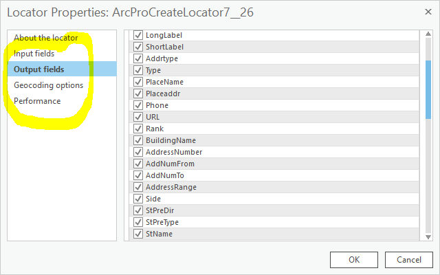
Additionally, given the new style locators do not have an associated xml file, how does one programmatically change the various properties as shown in the Output Fields, Geocoding Options, etc? All our locators get re-created on a weekly basis using a python script as a scheduled task.
Michael Volz (I figured this might be of interest to you Michael...)
- Mark as New
- Bookmark
- Subscribe
- Mute
- Subscribe to RSS Feed
- Permalink
- Report Inappropriate Content
Can't you just rebuild your locators each week instead of deleting them and building them brand new?
- Mark as New
- Bookmark
- Subscribe
- Mute
- Subscribe to RSS Feed
- Permalink
- Report Inappropriate Content
Don't know. In earlier versions it was alleged that you could, but it never worked of me. I'm game if that is now actually true.
- Mark as New
- Bookmark
- Subscribe
- Mute
- Subscribe to RSS Feed
- Permalink
- Report Inappropriate Content
Did you have geocode services connected to the address locators that caused locking issues?
I have been through numerous interactions of ways to stop geocode services that have been flaky, but with the help of python code obtained thru GeoNet I think I have a solid solution moving forward. I will pass along the specific thread on Monday.
- Mark as New
- Bookmark
- Subscribe
- Mute
- Subscribe to RSS Feed
- Permalink
- Report Inappropriate Content
Awesome! I'll look forward to that.
I just created another locator with the same alt names table, but with this one all the Suffix Type values are blank (''). Works great:

- Mark as New
- Bookmark
- Subscribe
- Mute
- Subscribe to RSS Feed
- Permalink
- Report Inappropriate Content
The thread with python code to stop/start AGS services can be found at:
https://community.esri.com/thread/230864-startstop-secure-services-in-1061
Many thanks to Jonathan Quinn on providing this code and answering questions about the code when it was not initially working. The example code will stop all services in your AGS site, but the code can be tweaked to just stop/start specific services (e.g. geocode services). One great thing about this code is that you can stop/start services that do not have a valid certificate (testing) and then you can modify the code to stop/start services once you have a valid certificate in place (production).
- Mark as New
- Bookmark
- Subscribe
- Mute
- Subscribe to RSS Feed
- Permalink
- Report Inappropriate Content
Joe:
The original behavior you described seems odd to me, would you be willing to share the data you used for the behavior you encountered so that I can get a better understanding of the issue?
Also, the info I provided about the primary and alternate name table schema needing to match was specific to the classic locators created with the Create Address Locator tool. I've created a new locator with the Create Locator tool and an alternate name table and only mapped the fields that contained values in the alternate name table and was able to successfully locator the address on the alternate street name.
- Mark as New
- Bookmark
- Subscribe
- Mute
- Subscribe to RSS Feed
- Permalink
- Report Inappropriate Content
I can email the data to you as a zipped file geodatabase; not sure of the size of the zip file though. You have my email here at slco, right?