06-17-2014
02:34 AM
- Mark as New
- Bookmark
- Subscribe
- Mute
- Subscribe to RSS Feed
- Permalink
Hi there,
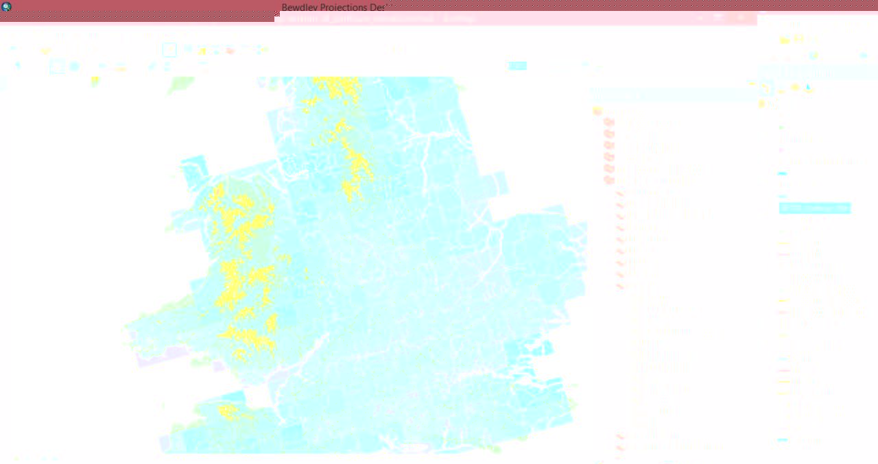
I am currently exploring a project on flood risk along the River Severn in the UK. I am using future precipitation projections from the UKCP09 model and given topography is very important as to how catchments respond to rainfall, I have added a contour map using SRTM data available for the UK here: http://www.sharegeo.ac.uk/handle/10672/9?show=full
It looks good however is there a way to simplify the number of contours on the map? As you can see in Figure 1 (attached), especially over Wales, it looks rather messy and is blocking out the data from the precipitation projections. If it could show contours say every 100m/150m/200m that would be even better?
I so, where do I need to go for this and if there is code involved say using a calculator, what would I need to use?
Cheers.
http://forums.arcgis.com/attachment.php?attachmentid=34639&stc=1&d=1403001196
