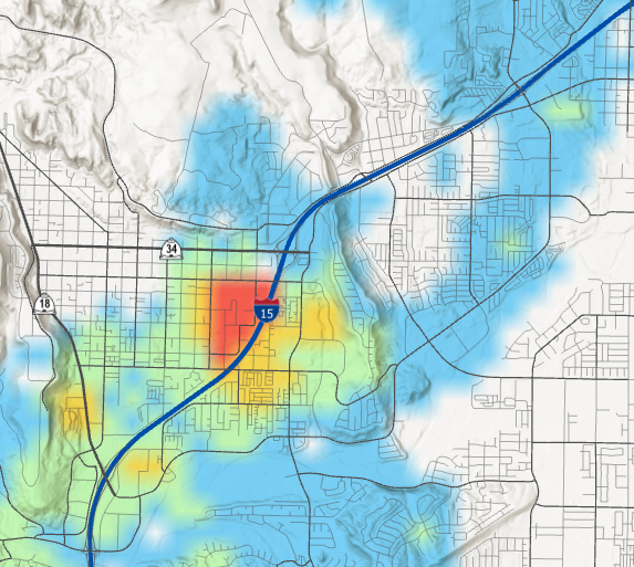
I think this may be a bug but I am not sure. I have a simple IDW raster that I created from some point values. It is symbolized based on a manual classification method of five color classes. On my map, the image looks nice and is sort of blended:
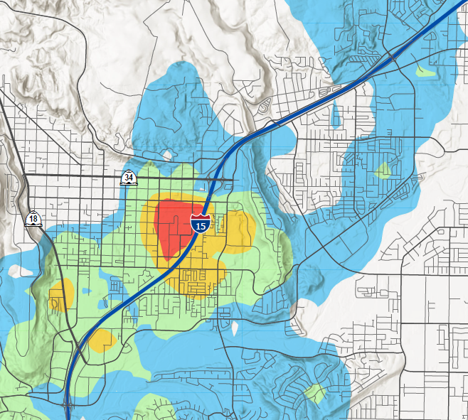
But when I export this layout to any file type (PDF, PNG, JPG, SVG, EMF, etc.), the image gets "dumbed down" to be really basic and standard:
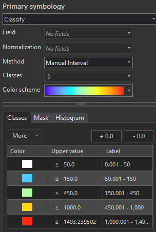
This is what my classification scheme looks like:
Is there a way to "force" my export to look as my map looks? Or is this a bug to where the image on my map is not what I get in my exported layout (it's not WYSIWYG)? Using ArcGIS Pro 3.0.2.




