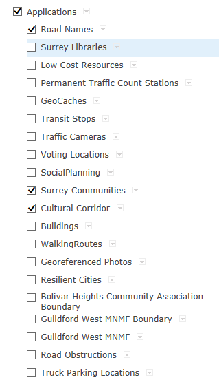
I have a polygon layer within a ArcGIS for Server Map Service that I would like to be used as a Supporting Layer that is clickable. I have added it to the web map (see below, Map service is called Applications, Layer Cultural Corridor) and configured it using the SUPPORTING_LAYERS_THAT_ARE_CLICKABLE (="Applications - Cultural Corridor") variable in index.html. The layer contains both a name and Description field. Any clues why this is not working?
I am hosting this app on my own server.
Regards,
Cameron


