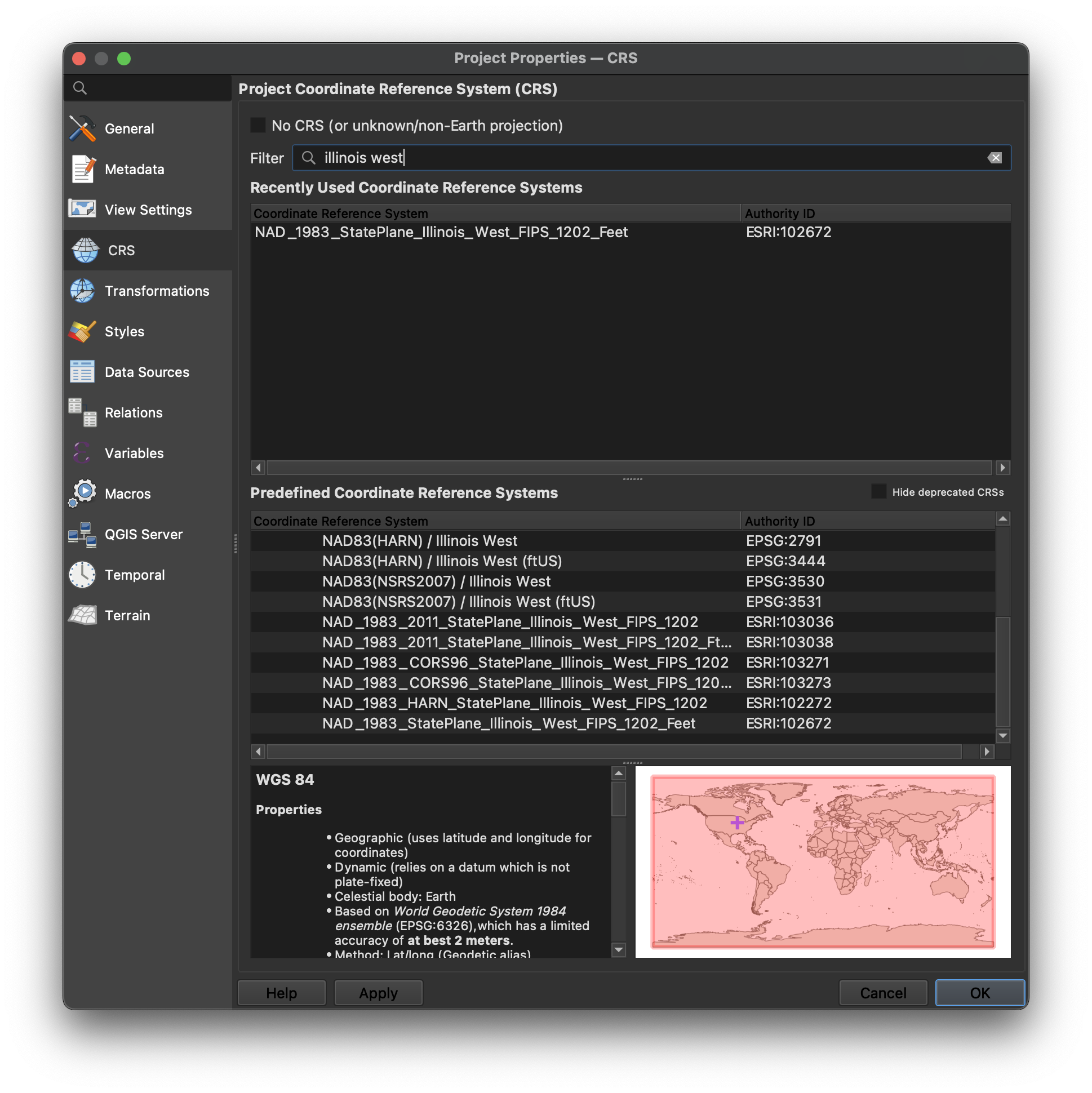
When searching for a coordinate system, the user is presented with something like this:
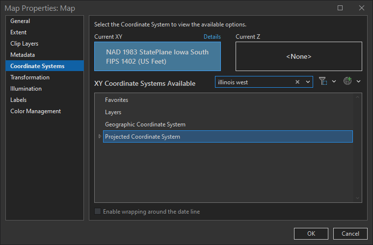
It's another couple clicks to drill down to an actual coordinate system:
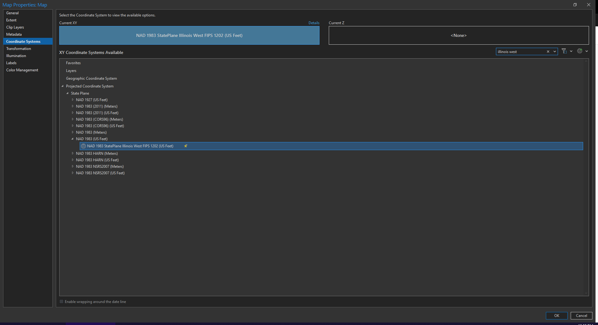
This is not the most intuitive nor efficient. Might I suggest the approach used in QGIS, which shows all matches in a simple list? This would save several clicks and help users more quickly scan through the results.