Running ArcGIS Pro 3.0.3
Hello! I'm new to GIS as a whole and I am trying to use it for some applications in my studies at university. Specifically I want to track the density of people and built infrastructure within countries over time.
I've come across a dataset which seems to harmonize national boundaries with coastlines exceptionally well. The only issue is that the information per country is stored in multiple polygons.
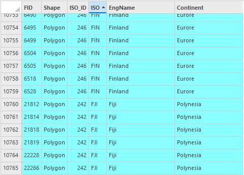
On a country per country basis, this is not a problem. As I can select by attribute and only clip the polygons necessary to the global raster.
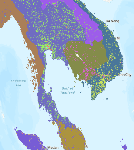
The problem arises when I would like to repeat this process for every country in the data, and then again through time. Would there be anyway for me to iterate over the ISO name column in order for me to split and extract the data that way? or is there perhaps a work around where I could combine the polygons on a national level and then split the global dataset?
Any help could be much appreciated! My apologies if this is a basic question, I'm just dipping my feet in GIS.
Additional Info!
The data I'm using for the polygons comes from here: https://hub.arcgis.com/datasets/WorldPop::national-boundaries-1km/about
and the population and build density data originates from: https://ghsl.jrc.ec.europa.eu/download.php




