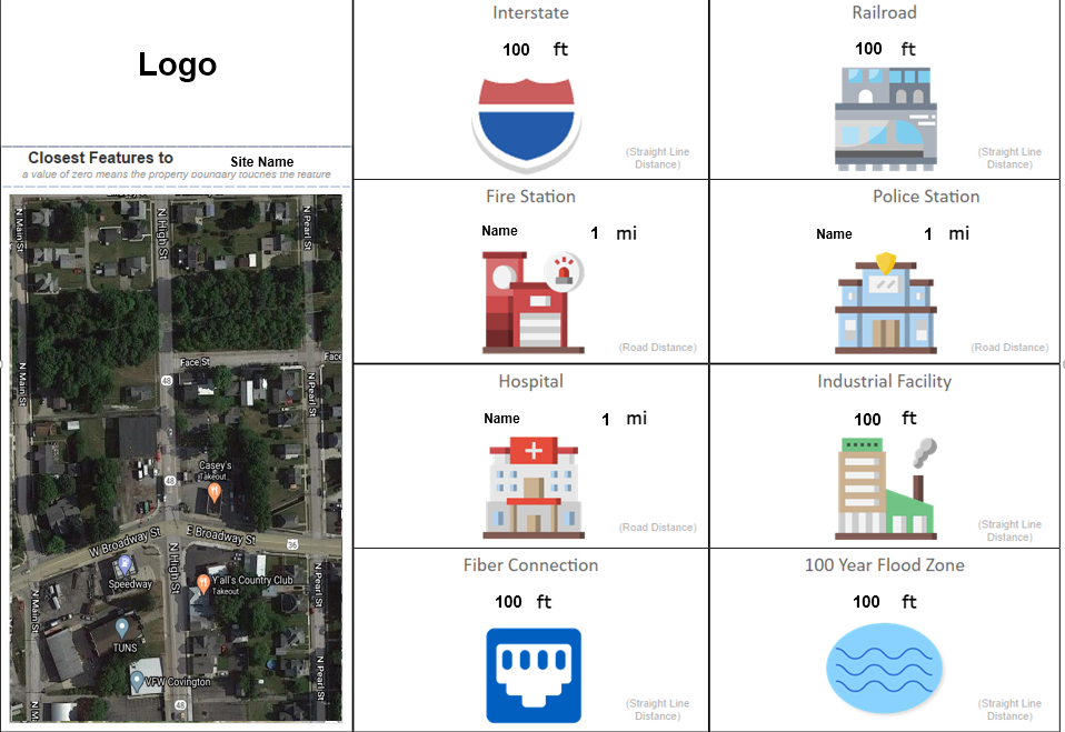
It would be great to combine the road distance calculations of "Closest Facility" and straight line distance of "Nearby" in an Infographic. Right now it appears as though "Nearby" is straight line distance in both community analyst and business analyst. I would like to determine what the closest features are based on the road network like the Closest Facility Network Analysis does. It would be great to be able to select one or the other for each feature you want to calculate distances for.
I work for a public safety agency and have created an infographic that shows distances to select features. The types of distances matter because the purpose of it is to show straight distances to threats where roads don't matter ( think explosions and spills from roads, rails, industrial sites, flood zones) and distance to places that could help that MUST use roads to do so (fire/police stations and hospitals).
Below is an example of the report I created with certain details removed: