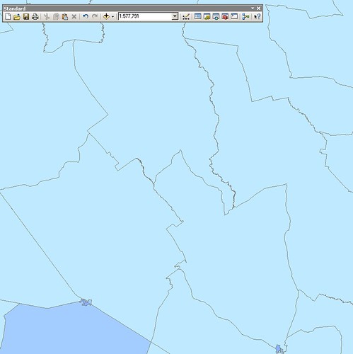
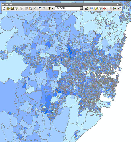
I have a set of multiple census layers, where the largest scale layer is very detailed over heavily populated areas, and quite coarse over remote areas.I need to display the detailed layer when it makes sense to do so - which is not necessarily at the same scale across the entire map.These screenshots illustrate the problem. At a scale of 1:500k the layer should display in rural areas:But in urban areas, the layer shouldn't display until about 1:100k:Using the JavaScript API and REST layers, is there any way to count the features in the current map extent, and turn the layer off/on accordinly? Eg, if there are fewer than 50 polygons, show the detailed layer, otherwise show the coarse layer.Thanks,Steve
Membros conectados podem postar, seguir atualizações e mais. Novo aqui? Registre uma conta gratuita.
Find useful guides, FAQs, and documents to help you navigate and make the most of Esri Community.