I'm having an issue with Pro. Been using it for about a year and a half full time now. So my office collects points out in the field with a survey grade trimble good to about an 1/8" of an inch. Then we return to the office and update our geodatabase points.
for a QA/QC of edits I select by location to make sure all geodatabase points were moved to gps locations and nothing was missed. my last batch of 1000 points or so only 44 were coincident.
we use snapping to ensure all points are the same. upon viewing in arcmap which has a scale limit of 1:1 the points appear to be on top of each other. but in pro where you can zoom in further i get this.
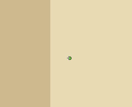
Granted that is 1:0.04 scale, but if you measure the distance between the points they register as 0 ft distance.
furthermore if you check the attributes the point coordinates are exactly the same.
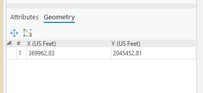
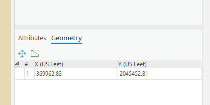
so then why are they displaying not directly on top of each other when I drug them over with snapping and why aren't they being selected in the select by location tool when set to select overlapping features?
TLDR: made some edits and the points will not line up no matter what I do. Digging in a bit, things get wonky.
Thank you,
Ben


