Hi,
I tried to follow the example notebook (04 GIS Analysts and Data Scientists - Chennai Flood Analysis) from the official sample examples of the Python API, but I cannot create buffers around feature layers. I get this error:
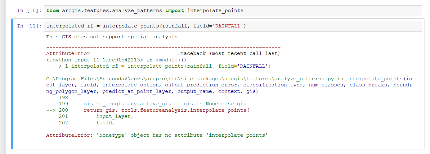
I am logged in with my developer account. I also tried to see if my GIS is supported, by running the command:
arcgis.geoanalytics.is_supported(cont), and the result is False.
Is the error caused by the account type, or by my Python API library installation (arcgis)?
Thanks for any help!
Alin

