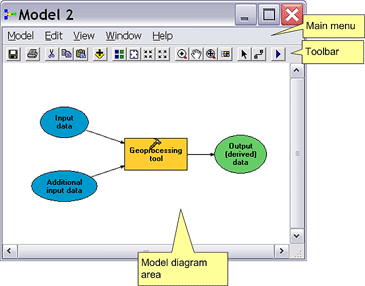
I am trying to select zonetypes (eg forest, agriculture) within a municipality and to show the area of each zonetype in this municipality.
I am doing this in ModelBuilder and will export it to a python script later on.
I am stuck with following Points
- How can I tell ModelBuilder to perform the task on the municipality I click in with my Cursor? I heard Feature sets are helpful but I don't really understand how they work and how I must implement one as a pointer
- How can I get the area statistics? I thought by using the Calculate Area tool. This would create a new feature class.Another option would be exporting the selected data as a table and perform a summary on it. However, these two ways do not work with the "select layer by Location tool" as this requires a layer file as input
This question is also posted here: arcgis desktop - Select by point using ModelBuilder? - Geographic Information Systems Stack Exchange