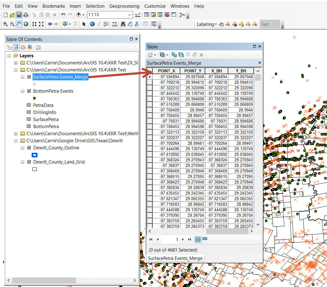
I'm still attempting to load well data from Drilling Info for permits in a certain county and have them connect the surface hole to the bottom hole with a line. I've gotten to the step where I have added the XY using the XY Tool but they are in a feature not in the actual data table. I need to get the XY data into a data table first, and then somehow merge the surface and bottom holes into the same document.
I need help with how to take the XY's generated in the point feature class table (see image) and move them to a data table?