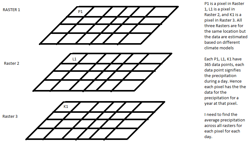
I have 20 netcdf files that are essentially data sets of daily precipitation across a region. Each netcdf file is the output of one climate models. Hence each pixel in a netcdf file has 365 bands that represent the precipitation value for each day. I want to calculate the precipitation for each pixel for each day averaged across all the climate models.
I tried converting the raster to point files and extracting multiple values to the point, extracting the data to excel and then averaging them for each raster. I was wondering if there is a more efficient way to do this either using arcpy or model builder.
Suggestions and help would be appreciated!



