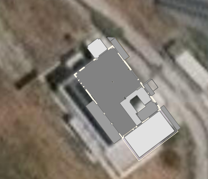
Hi guys,
I am opening a project after several months.
Based in Greece. I georeferenced a CAD file in WGS 1984 UTM Zone 34N
it is evident that the two imagery are different as in one there are cars missing in the other one.
Why this shift?
the same happened in another European country (WGS 1984 UTM Zone 33N) without any change, this has been reported at the end of 2019.
thanks!
This is the screenshot of the building taken in October 2019 from a Service published on AGOL
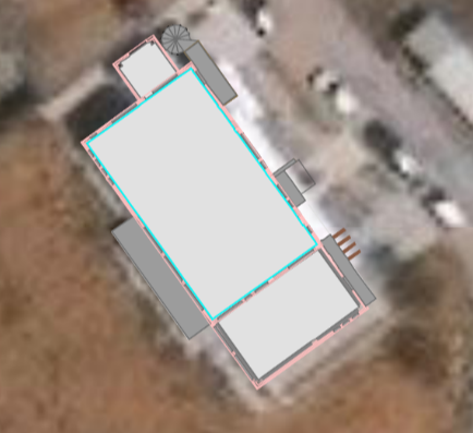
I am opening the same right now.