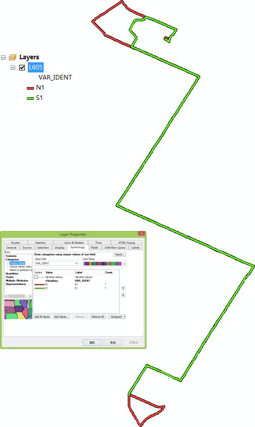
Hi, I'm tring to make a transit map using arcgis desktop.
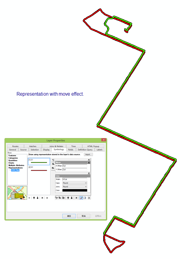
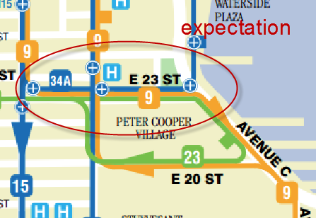
However, I have troubles with the map visualization. How to separate the two trips overlap on the same street? I'm tring to use the representation with move effect, but the results show that the direction of the move affects entire feature. My expectation is the two or more trip collineation display separately.
The attachment is the original shapefile.