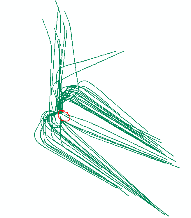
I want to create a route from this line file but also have the ability to define the start point (somewhere in red area) so that the routes all start from the center and move out to the edges. The coordinate priority parameter only allows for lower left, upper right etc. This part of the documentation seems to suggest that you have the ability to control the start point but I can't see how that's possible.
Thanks, Kent
Setting the parameters
Once the linear features have been selected, use the Make Route dialog box to set the parameters for how your new route will be created.
The first parameter you set is the start point. This is where the route measure values will begin. There are two ways to set the start point. First, you can click a point on the map. When you choose this option, you will note that as you move your pointer around the map, the start point automatically snaps to one of the selected feature's endpoints. Second, you can use a coordinate priority of lower left, lower right, upper left, or upper right. These coordinate priorities are determined using the minimum bounding rectangle around the selected set of linear features. The endpoint from the selected features that is closest to the chosen coordinate priority will be where the measures start.
The next parameter you set indicates how the measure values are to be obtained. When you choose the Geometric Length option, it is important to realize that the geometric length of each selected feature is determined in the units of the target layer's coordinate system, not the feature's native coordinate system. This is because within a single data frame, features with different coordinate systems can be projected on the fly.
The Measure Field option is only available when all the selected linear features are from the same layer. Measure values on the new route are accumulated using the values in this field.