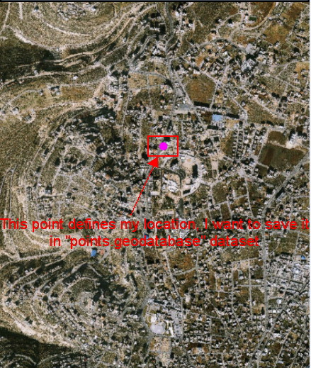
I am writing an app that edits local data stored on my android device, the application aims to save my location that is derived from the location services as point in a .geodatabase layer.
The application includes basemap, and a points-dataset (“points.geodatabase” that should store the saved locations).
I’ve referred to Esri tutorial for editing data (this link), but I didn’t understand this guide.
At this level, the application can view my current position on the map as a point (in the screenshot below); I want to save this location as a new point feature in “points.geodatabase” dataset by pressing a button. How can I do this?
Any help is highly appreciated
Hani