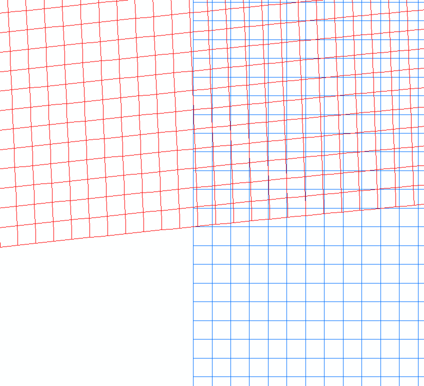
So I have 2 separate GRTS (Generalized Random Tesselation Stratified) for spatial sampling that I want to align but am having trouble even after projecting them to the same coordinate system (Projected: NAD_1983_Albers / Geographic: GCS_North_American_1983).
Any suggestions?