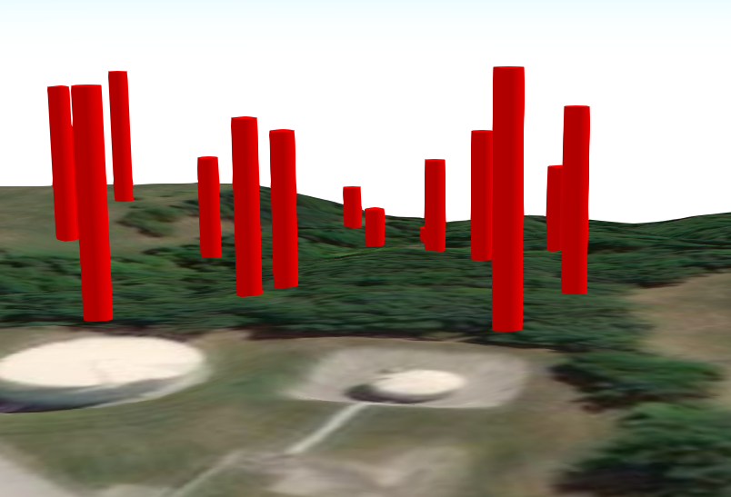
In ArcGIS Online Scene Viewer, I would like to display well shafts starting at the surface and going downward. I have created a local scene and there is an underground "area" but I have not figured out away to extrude the well points downward.
Below is what happens when I set the elevation field as "well depth" and the elevation mode as "relative to ground." Just need to go the opposite direction.
We have tried using negative values. Didn't work.
Is this possible?
Thanks.