Hey there,
I had a raster dataset that I was working with that show an airport. I uploaded this raster dataset into the AGOL cloud as a tile service.
The problem: zoom level on AGOL seem to pale in comparison to the one on Arcmap
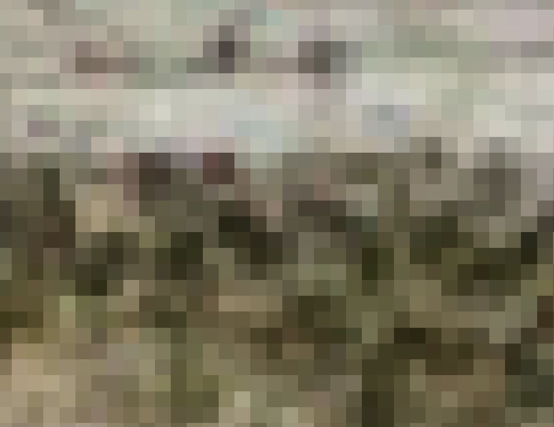
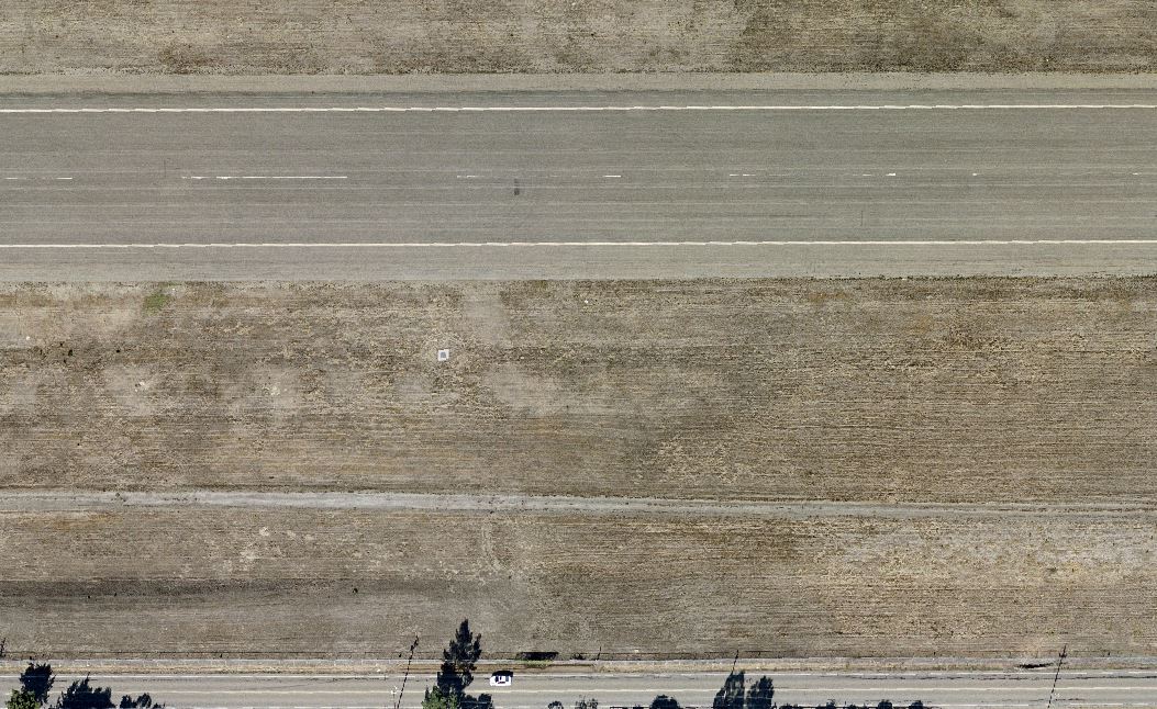
On Arcmap I was able to zoom all the way into the image, all the way to the point where I can see the individual pixels. However, on AGOL I can only zoom in so much. Is there a way to make it so that I can zoom in more on AGOL? I've attached some images if that helps.
Maximum Zoom Level On Arcmap:
Maximum Zoom Level on ArcGIS Online:
Also, I'm also not sure how uploading as a tile service works but the raster dataset that I uploaded was 5 GB in size. But after I uploaded it as a tile service, the tile service is only 348 MB. How did uploading it as a tile service significantly reduced the file size? This question is not relevant, it is just for my own personal curiosity.

