Hi folks,
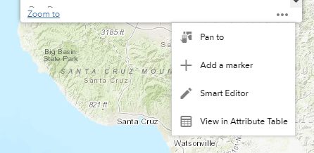
WebApp users in my organization have expressed interest in taking existing coordinates from a point feature in one layer (read only, reference) to generate a point in another layer (editable) based off those.
This would be a helpful QA/QC measure, as many of our workflows occur in the same geographic location multiple times.
The attached screenshot should help elucidate what I am after. Grateful for any recommendations/first steps. I probably need to delve into popup.js file? Thanks!