I am developing a GPS application for use in precision agriculture. I need to save the path where the vehicle passed. The drawing must contain the width of the vehicle. I tried using:
gpsLayer.setTrailSymbol(new SimpleLineSymbol(new Color(200, 0, 0, 160), 20));
But the problem is that the polylines are disconnected, therefore remain gaps in the track.
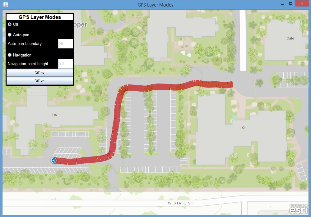
I need to track is equal to an automotive GPS. Does anyone have any idea how to do it?
Thank you


