Hi guys,
How can I generate nicer contour map from SRTM DEM data downloaded from the internet.
I already did the process using 3d Analyst and here's my output.
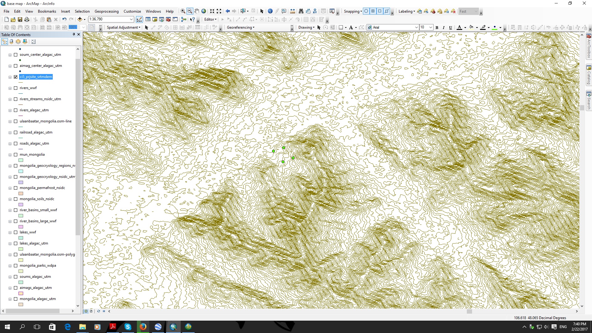
I made used of these data attached.
Please advise if there's any other way to generate contour. This is 5 meter contour interval.
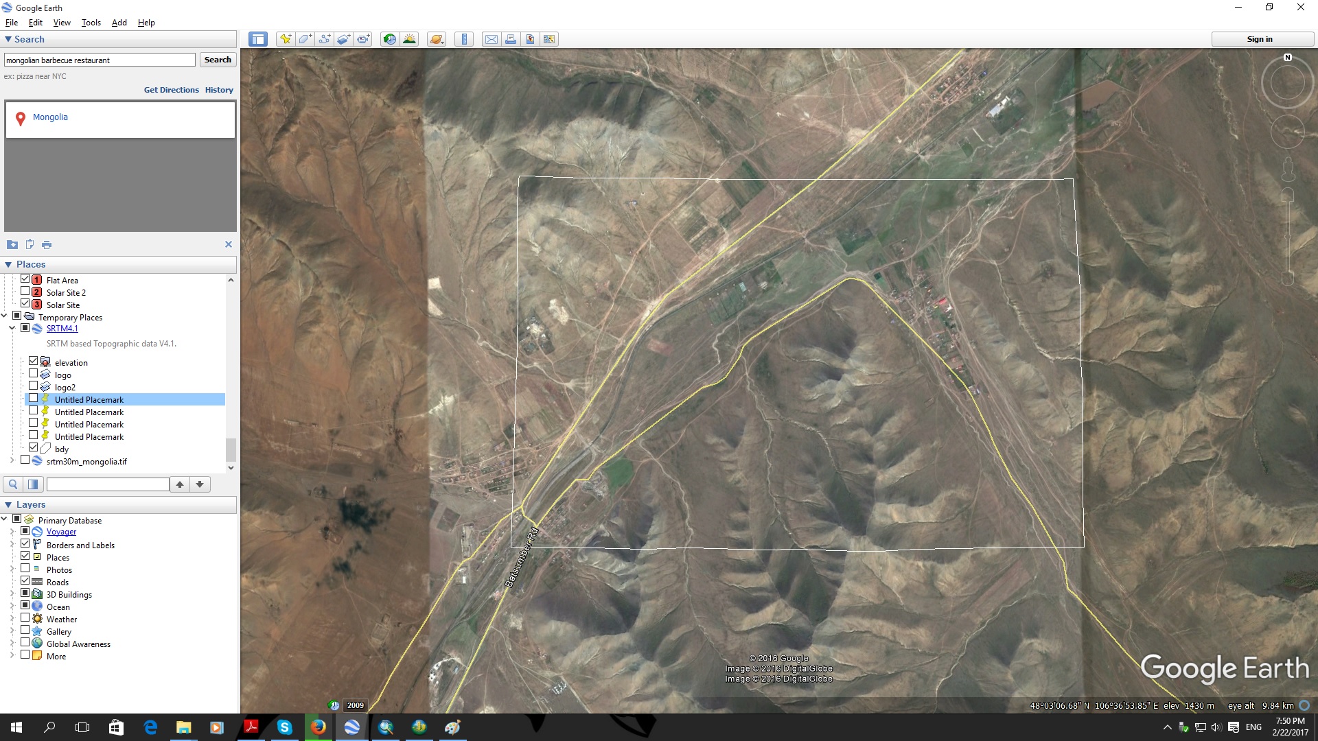
This is the Sat Image from Google Earth.
Thank you guys



