Engagement is the hot commodity of the 21st century. Advertisers, content creators, parents, and teachers are all vying for student attention, but few ever maintain it. While many would blame the influx of short-form content and its effect on our students’ minds, I would argue that connection is the main obstacle to student engagement in the classroom.
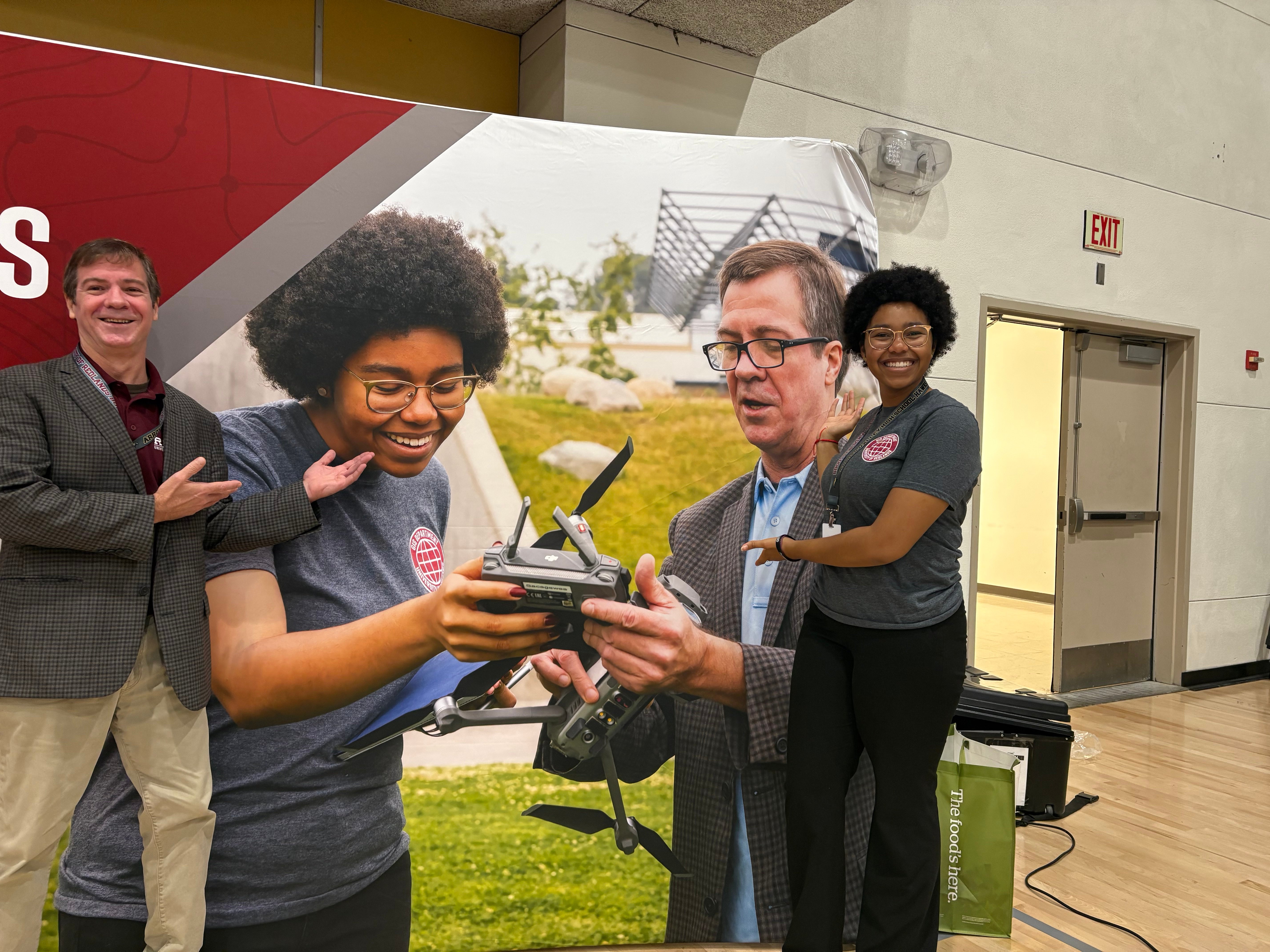
My name is Khouri Evans-Dangerfield, and I am a student at the University of Redlands. In this blog post I will talk about introducing students to GIS through recounting my own introduction, offering tips and tricks that have worked for me, and offering words of encouragement for the journey.
So many things in our students’ lives are already specifically catered to their interests, so if our style of teaching can’t grab their attention, it’s because we’re not speaking in a way that relates to them. Ask any student about an interest or hobby, and you’ll quickly see that they are natural learners because they absorb information that relates to their interests. When we introduce GIS to students, we want to cater to that and give them access to tools that will not only help them complete their classwork but also inspire them to conduct their own explorations of the world around them.
I should mention that I’m not yet a credentialed educator. I have four semesters to go until I can call myself such. However, I work with students in my roles as a summer tutor and as a Peer Advisor with the University of Redlands. I’ve been working to introduce GIS to my students and exploring the ways in which various fields use GIS. Ultimately, when I step into my own classroom as a Social Science teacher, I hope to not only encourage the students to intertwine their understanding of history and geography, but to find bits and pieces of GIS that will aid them when they explore their own fields of interest.
My Introduction to GIS: From Black Sabbath to Batman
The first time I learned about GIS was in Dr. Glover’s Mapping Metal history course, which I mistakenly believed was about geology and not the music genre. This belief was proven incorrect when Dr. Glover pulled out an archaic machine called a record player and played Black Sabbath for us.
We spent the next few weeks exploring and mapping the history of metal: how it spreads, how the culture of regions differentiates the sound and lyrics, and the differences between each family of metal music. What I valued most from the course, besides my improved music taste, was the introduction to GIS as a tool that I could use to explore my own personal queries about history and society.
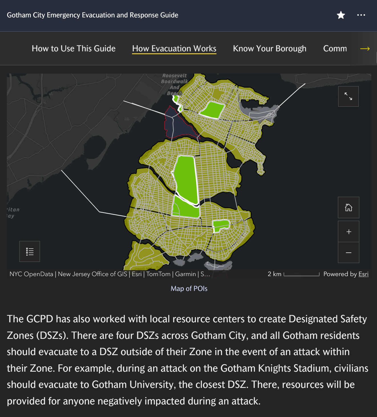
Perhaps what shocked me the most was how approachable GIS was to those who had little to no experience with computers. So, I took more GIS courses, worked on projects ranging from the ecological zones of Africa to the religious migration of California residents. I even won an award for creating a Story Map of emergency evacuation in Gotham City, with the help of Dr. Wagner. Looking back, I was only able to do all these things because my introduction to GIS was both informative and interesting. This is the same energy we need to bring to our classrooms.
Putting the FUN in FUNdamentals
When introducing students to a new skill or topic, the most important aspect of their learning is the support we provide them with. All educators are likely familiar with instructional scaffolding and Zones of Proximal Development. Therefore, the question to ask is not how we teach students GIS, but why we teach GIS to our students.
If students see GIS as a mandatory component of the schoolwork they must complete, they may not develop interest in the topic. Instead, the first thing we need to do is inspire students by informing them of the various ways to use GIS and then teach the fundamentals while keeping their interests in mind. Only then will their reason to learn GIS change from “getting a good grade in the class” into “mastering a skill that will help me achieve my goals.”
Start by finding out what careers or hobbies your students are passionate about. Then, create portfolios of webinars, blogs, ArcGIS StoryMaps, virtual exhibitions, etc. that cater to those interests. Introduce your students to GIS through the lens of their interests and highlight how the content they’re about to learn in class will support their growth in those fields. As you teach your students new tools or programs, make sure that you draw attention to how they can use these newfound skills in their fields of interest, even if that specific application isn’t covered in the lesson. You can also provide students with supplementary labs, modules, or work that students can explore on their own as they master GIS.
Finally, give students the chance to show you what they’ve learned. Final projects are a great way to see how students can put a personal spin on the content they learned in class, but so are mini-projects and extra credit. Give students the space to express themselves and prove that they’ve succeeded. Students always want to find pride in their work and show others what they’ve done. Your class may be the best opportunity for them to do so.
Most importantly, don’t be afraid to fail. Incorporating GIS into academic curricula is a relatively new phenomenon, especially for educators (or educators-in-training like me) who want to incorporate GIS outside traditional STEM classes with students who have no promised proficiency or interest in information technology. Not all of your lessons will be interesting. Not all of your lectures will be well-explained. But then again, when’s the last time any of us has had a project that went perfectly smoothly? The greatest strength of educators is that we are life-long learners and know how to think on our feet.
In the same way that ArcGIS Pro is constantly updating, so should we update our approach to teaching GIS. As long as we establish a solid relationship with our students, navigating the instruction of GIS shouldn’t be too difficult.
The Obstacle of Obstinacy
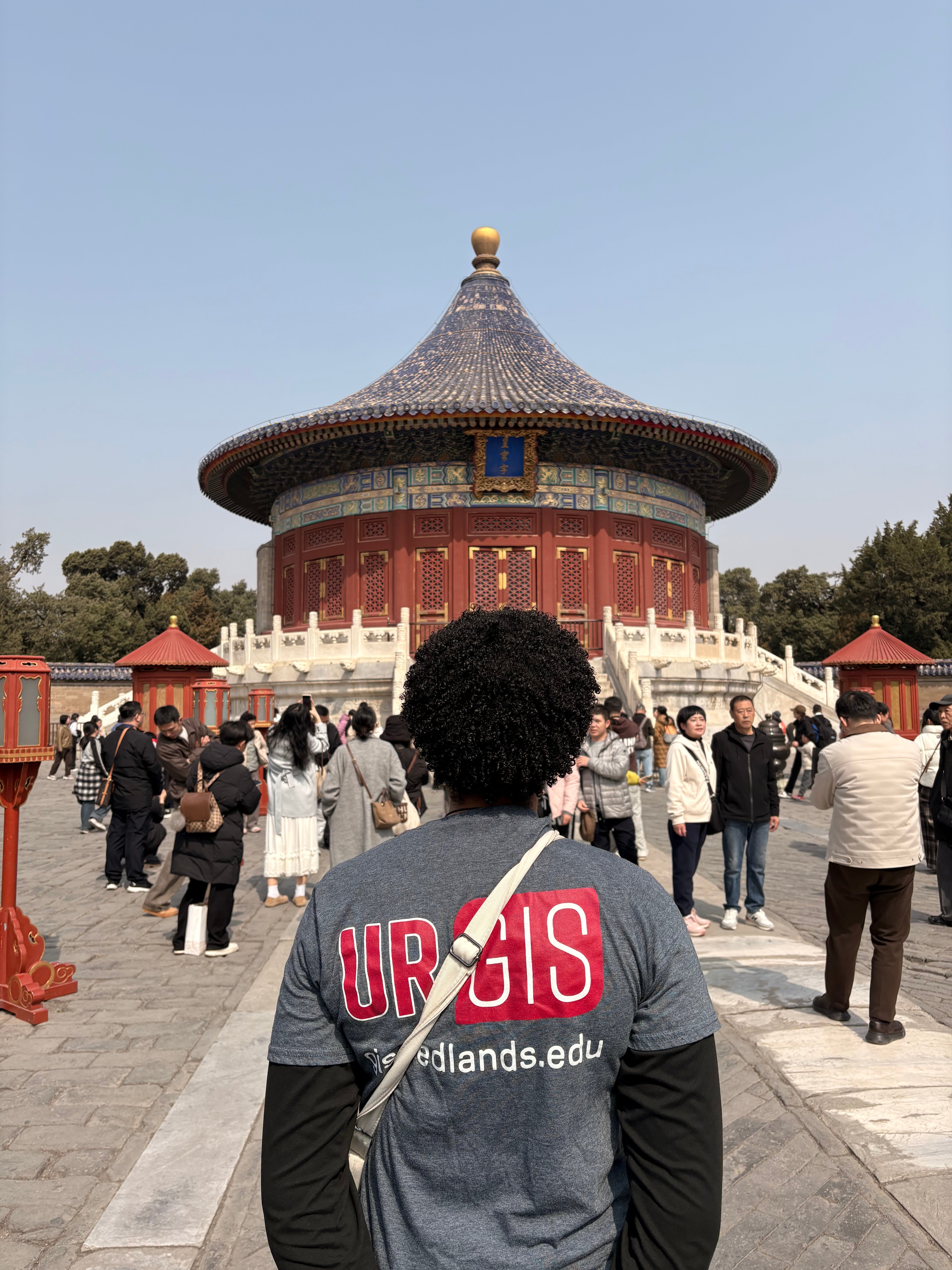
Unfortunately, there will always be students who resist the pull of GIS. I’ve found, both in my own struggles and in the experiences of my students, that when a student doesn’t want to acquire a skill, their main question is always, “How is this useful to me and the future I’m planning?” What use does an electrical engineer have for the comprehension of The Great Gatsby, or an English teacher for an understanding of circuit analysis and design? At first glance, nothing. Understanding a topic outside the realm of a personal interest seems futile at first. However, there will come a day when the typical way you express ideas is not suitable for the topic or audience at hand, and you will need to find another way to express your beliefs or research so that you can be understood. GIS is one of those ways. It’s a universal language, like math or music, that helps us communicate beyond what words can express. So, although learning GIS may seem difficult or not worth the effort, it is one of the many tools we have for creating understanding between ourselves and the world around us. Continue to push for connection through education because we can’t build bridges with an empty toolbox.
If you’re an educator with GIS experience, no matter how much, I strongly encourage you to introduce GIS to your students. With our world as interconnected as it is, it is important to equip the future generations with the tools to study those connections. Who knows how much an introduction to something as simple as ArcGIS StoryMaps might change a student’s life? It certainly changed mine, and I could not imagine where I would be without an introduction to GIS.
Contact Me (if you’d like):
Email: khouri.364525@gmail.com
LinkedIn: https://www.linkedin.com/in/khouri-evans/
Redlands Website: gis.redlands.edu
