Please add better support for XYZ elevation data.
Sample files can be found here: Digitales Geländemodell
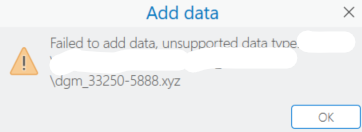
It is not possible to drag-and-drop the files in ArcGIS Pro:
It is necessary to create a folder connection to where the XYZ file is located and add the data from within ArcGIS Pro.
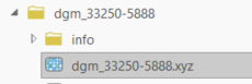
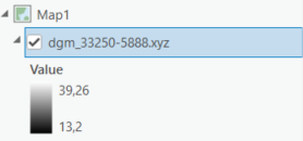
Now it is possible to drag and drop the data from the catalog or add it to the map:
Please add support for XYZ data to be used directly as Elevation Data in ArcGIS Pro.
Currently we have to export it to Raster before we can use it as elevation source.
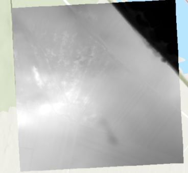
It is already correctly rendered in the Map View, so why can´t we use it as elevation?
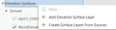
(I tried it and it did not work)
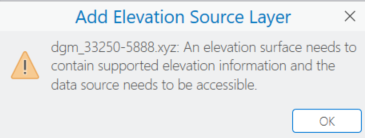
(ArcGIS Pro 3.5)

