I want to generate the shortest transportation route from a certain city in Country A to a certain city in Country B. Therefore, a network dataset containing land roads and sea routes needs to be created.
At present, I have the datasets of global land roads and sea routes, but they are independent of each other and have no intersection points. I also have a dataset of global ports. May I ask how to create a network dataset that can solve the shortest path using Network Analyst module?
In addition, in order to make the solution of the global network routing possible, how should the spatial reference coordinates be selected? I have currently attempted to use the coordinate system of WGS 1984 to solve the shortest route of global shipping routes and found that the shortest path cannot cross the Pacific Ocean. See the following picture, the grey lines are the roads and shipping lanes.
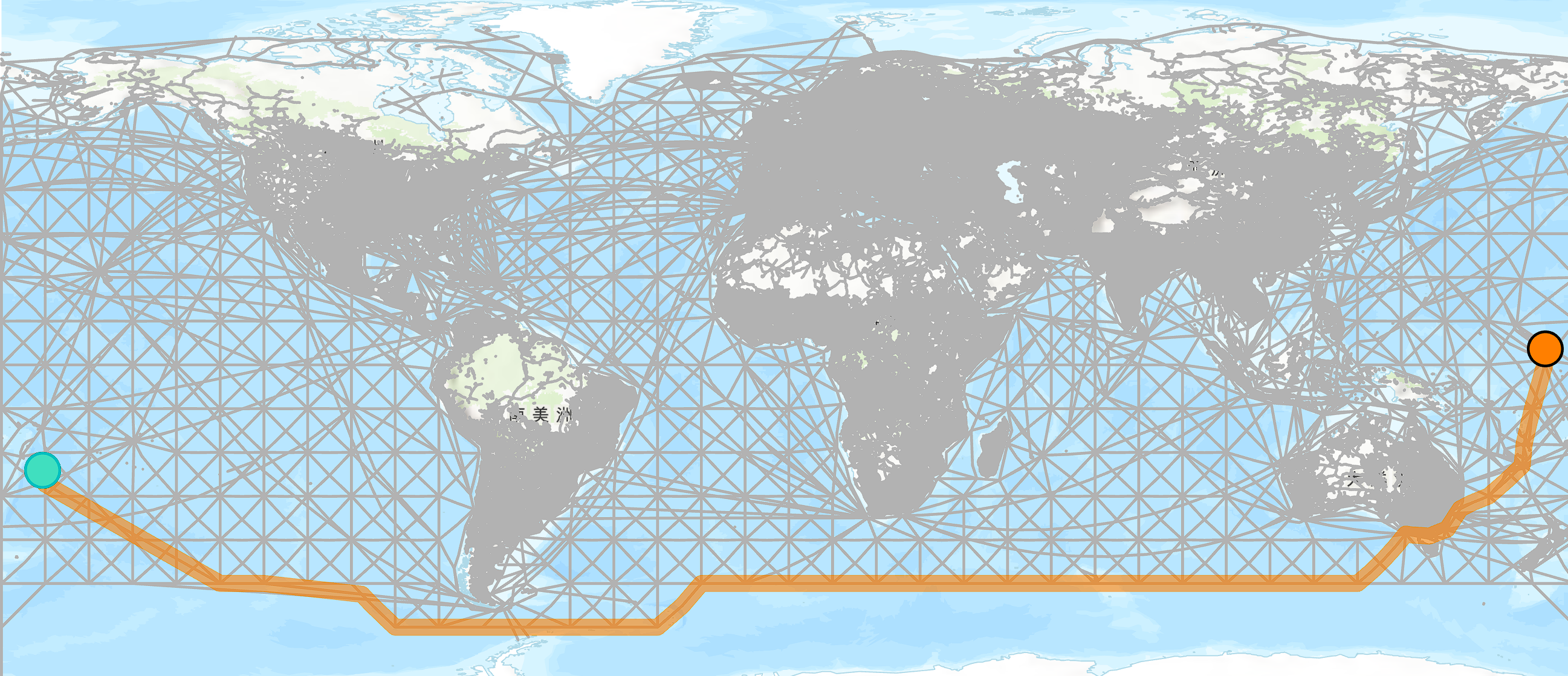
If you have any good solutions or suggestions, please tell me. Thank you very much.

