Hello everyone,
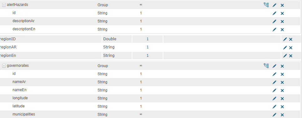
I am trying to ingest data through ArcGIS GeoEvent server from a web endpoint. I have some troubles and cannot parse the geometry in the data. I am trying to use an input connector (Poll an External Website for JSON). I am not sure how to use JSON Object Name in the connector. As per the documentation of GeoEvent server it is defined as "The name of a JSON element that can be used as the root node of a substructure within the received JSON data. When JSON Object Name is used to specify a JSON element by name, the adapter will search for substructures whose object name matches the specified element name. Only data within the identified substructure will be considered. When left blank, which is the default, the uppermost JSON object is used as the root of the entire JSON structure". When I leave the JSON Object Name empty the, all the data ingested but cannot extract the geometry and when I specify the JSON Object Name with "location" (this is the direct root of the geometry) the connector ingest only the geometry and do not ingest all of the data.
I visited this handy article, but I feel that I'm lost in the middle and cannot find my way to parse the geometry.
https://community.esri.com/t5/arcgis-geoevent-server-blog/json-data-structures-working-with-hierarchy-and/ba-p/889509
Any help would be highly appreciated.
Thanks.