Hello Everyone
Currently I am trying to plan a new map service structure for our GIS infrastructure as we are in the middle of upgrading all the systems. One problem I am having is with data duplication appearing across different map services. For example we have a ward boundary's layer that appears in a lot of applications that we create. We were discussing about having a set of map services for different departments containing their datasets such as planning, flooding etc and picking of the layers individual when we need them for an application in AGOL or portal.
The problem we have come up against is the below for example. People may want to have different styles for their wards for example and with us only wanting the wards layer to appear once across all of our map services it means we would be limiting users to certain styles.
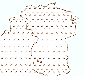
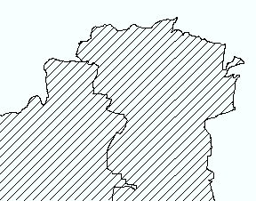
I was wondering is there a way to apply multiple styles to a single layer in a map service and individual pick of different styles of at will for an online application built in ArcGIS online or portal.
For example
Wards
- style1
- style2
Hope the above makes sense
Many thanks for your help in advance
Tom




